We devoted Monday to visiting Hawai’i Volcanoes National Park, home of Kīlauea, the most active volcano in the world.
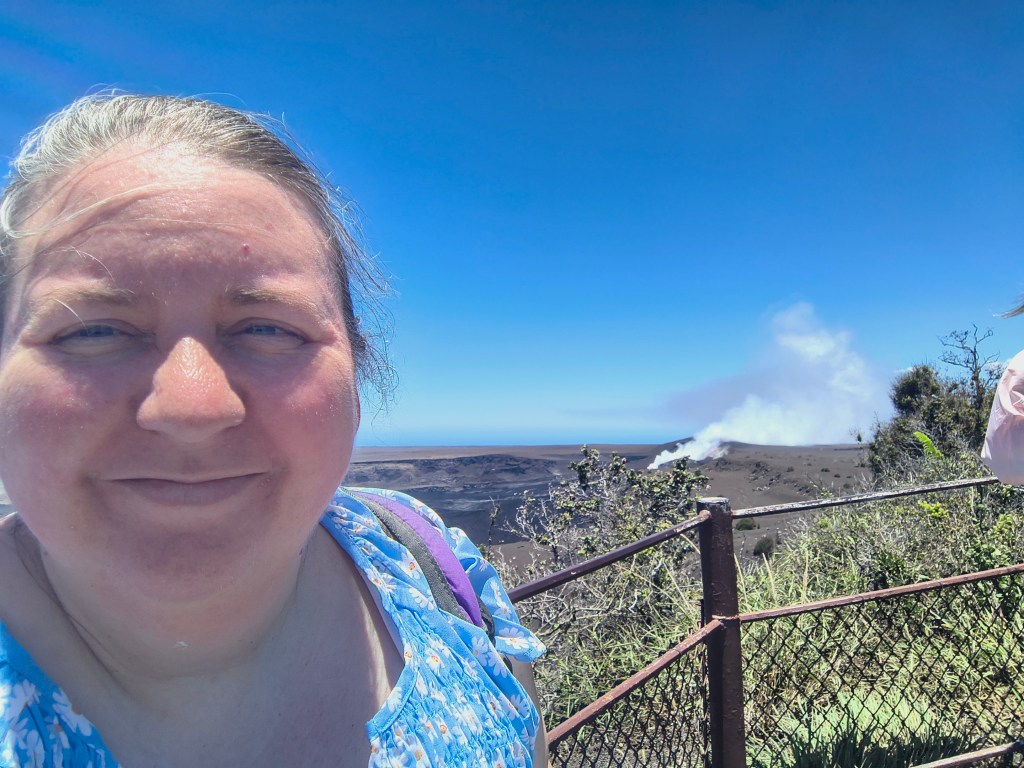
Kīlauea has been in an active eruption pattern since December 2024, with eruptions of 7-24 hours every 1-3 weeks. Like all of Hawai’i’s volcanoes, it is a shield volcano rather than the more explosive composite volcanoes (like Mount St. Helen and Vesuvius), so its eruptions tend to be more like lava fountains and oozes than major explosions. (Think of fountain fireworks that you might set off on a concrete slab versus professional-grade aerial fireworks that explode overhead.)
It was relatively quiet the day we were there, although it was still visibly venting a huge cloud of gasses, notably sulfur dioxide. They’re expecting the next eruption by July 12, but volcanoes do what they want to do when they want to do it.
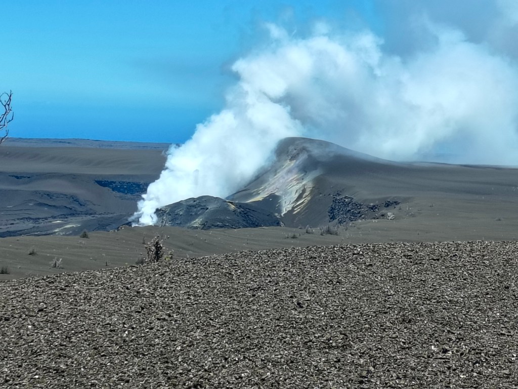
Hawai’i was made by volcanoes, and it is continually being reshaped by them. The NPS managers of this park have a real challenge because they must keep millions of tourists safe while constantly adapting park infrastructure to new realities.
For example, there used to be an interpretive center (the Jagger Museum) near Kīlauea’s rim where we were walking. Before 2018, the crowning caldera was quiet and most of the lava flow was coming from a vent miles away, with lava periodically flowing into the sea and making new coastline. Then in 2018 there was an earthquake, something underground shifted, and suddenly lava was bubbling up in the back yards of the Leilani Estates neighborhood, forcing the residents to flee. 700 homes were destroyed. The top of the volcano also erupted, destroying the interpretive center and the park infrastructure in the area. It has remained episodically active ever since.
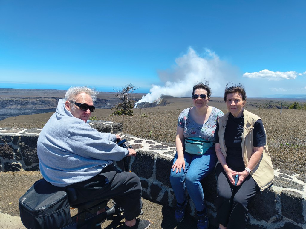
NPS has rebuilt the Crater Rim trail and reopened most of the road (although you can no longer drive all the way around), but they are not rebuilding the interpretive center; instead, they’re expanding the Visitor’s Center further away from the crater and moving/ recreating the exhibits there. But there’s nothing to say the volcano won’t shift again and open a new vent somewhere else. It doesn’t feel obligated to tell park managers its plans!
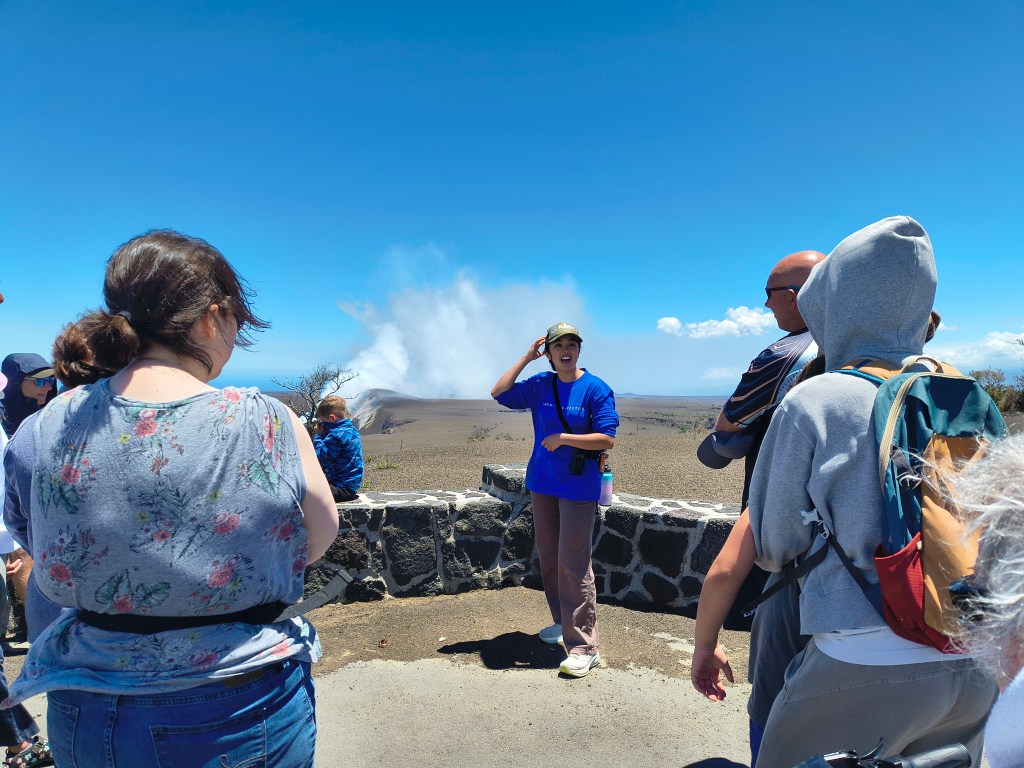
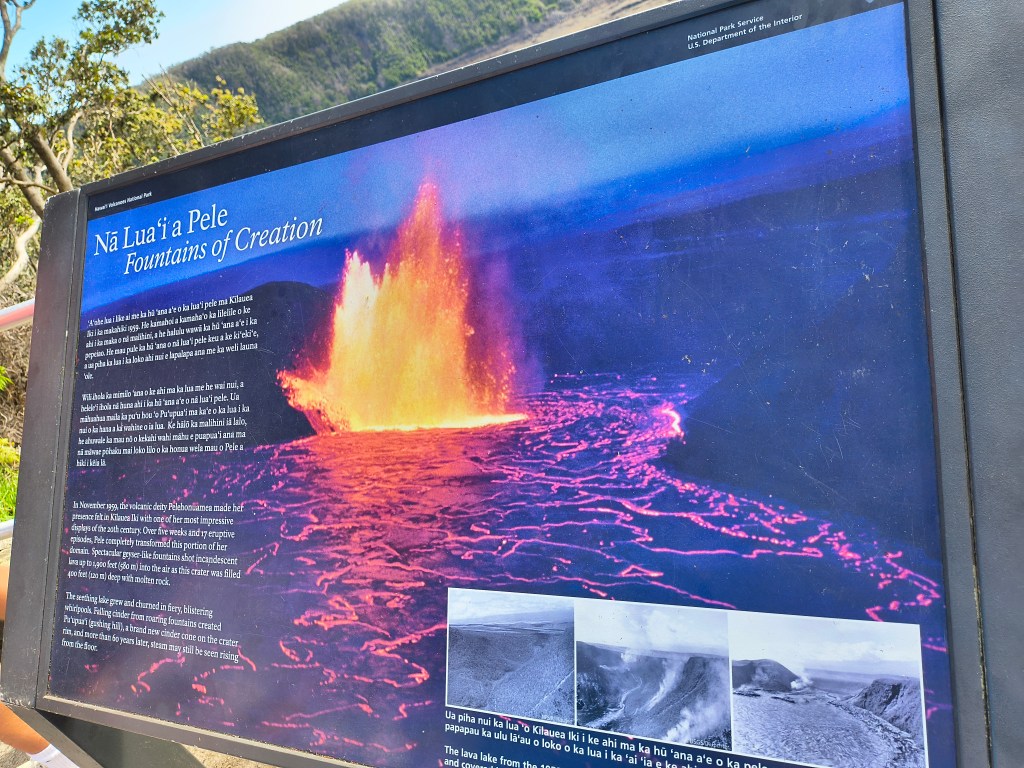
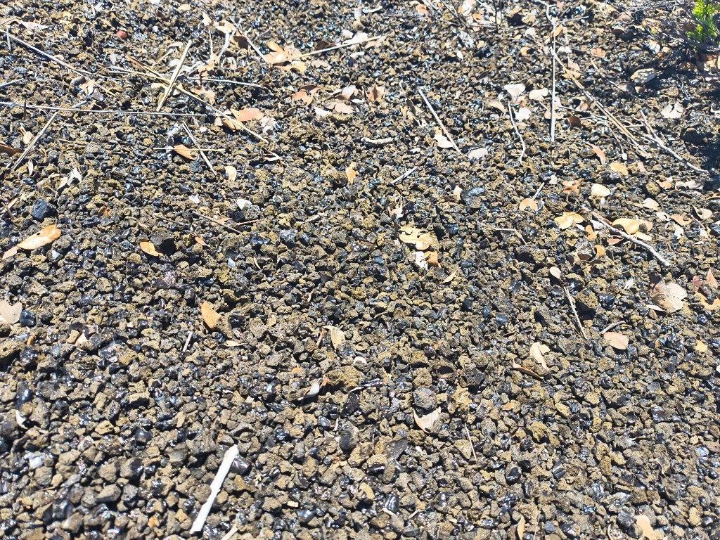
The park ranger gave us a great talk explaining all this history to us. She also told us about tephra, the glittering-glass volcanic ash surrounding us and filling the floor of the crater. It’s hard to get a good picture, but you could definitely see it glittering in the sunlight. You could also see the hardy vegetation that takes root and survives that harsh environment, including the ‘ōhi‘a lehua trees that are specially adapted to “hold their breaths” when being blasted by toxic gases.
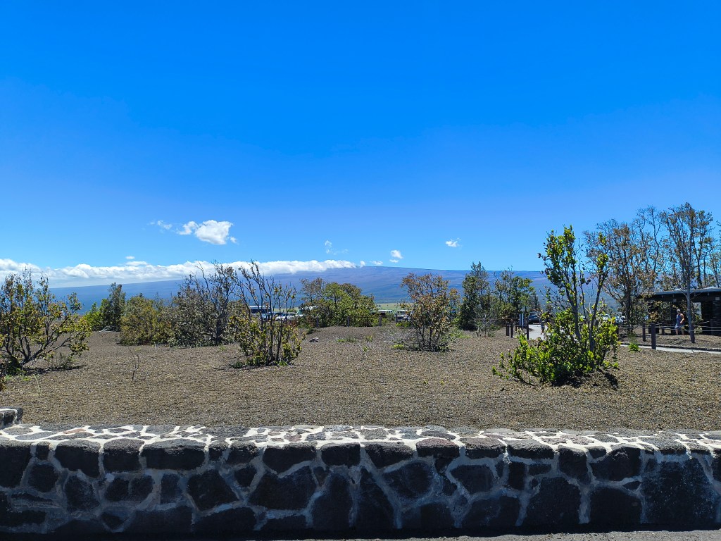
Next we continued to the East Crater Rim road, stopping off at Volcano House for lunch with a plate-glass view of the crater. We moved on to Kīlauea Iki, a smaller crater where I believe a major eruption happened in 1959.
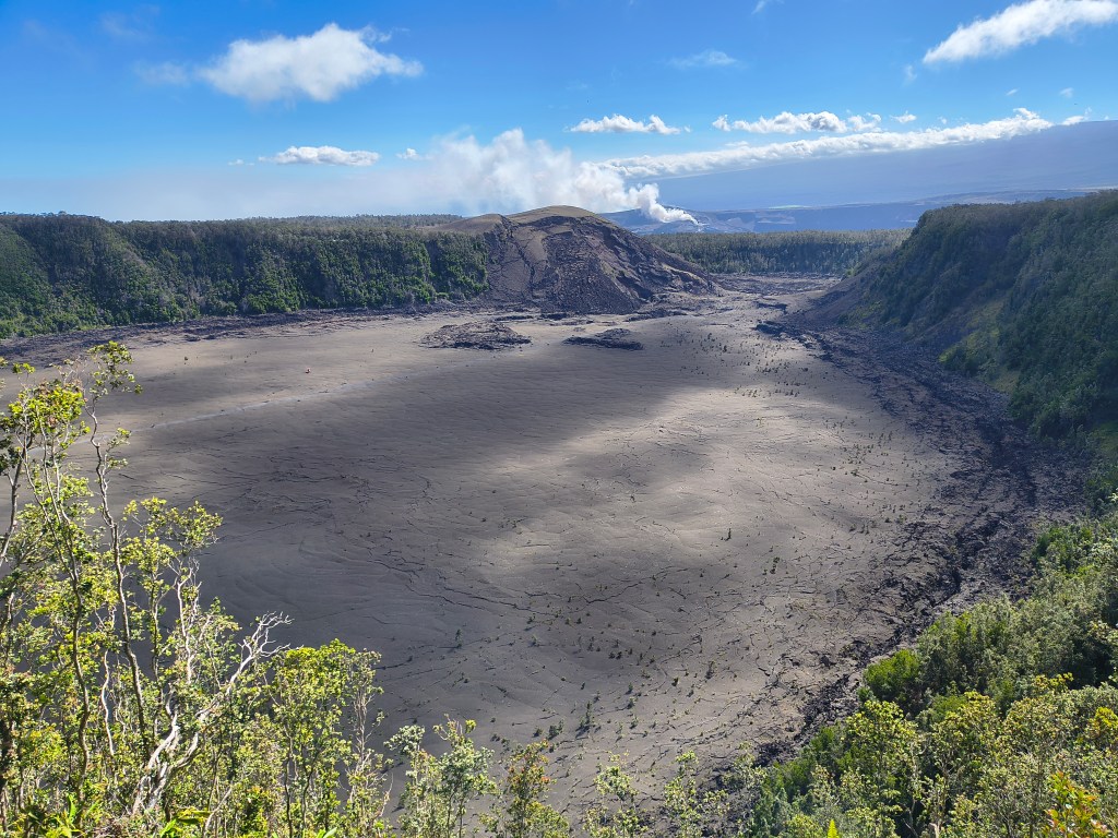
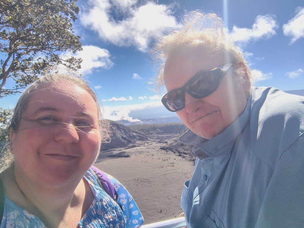
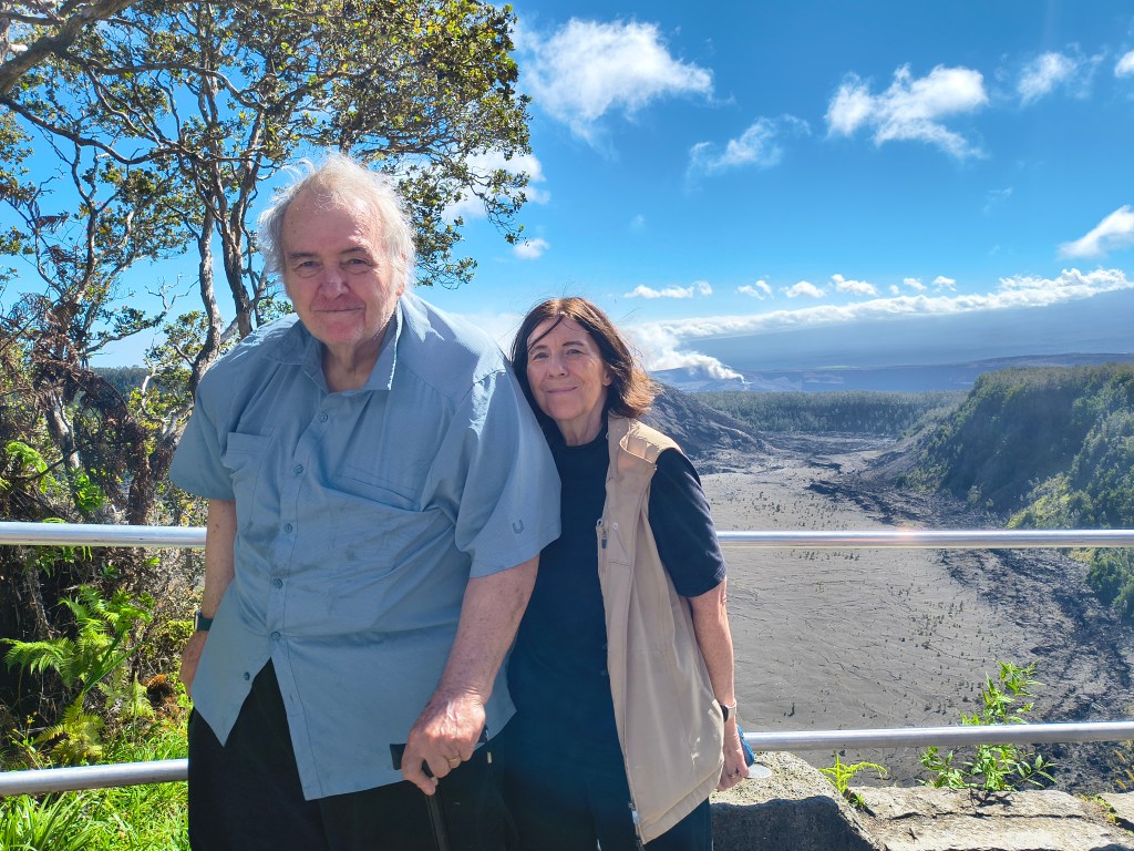
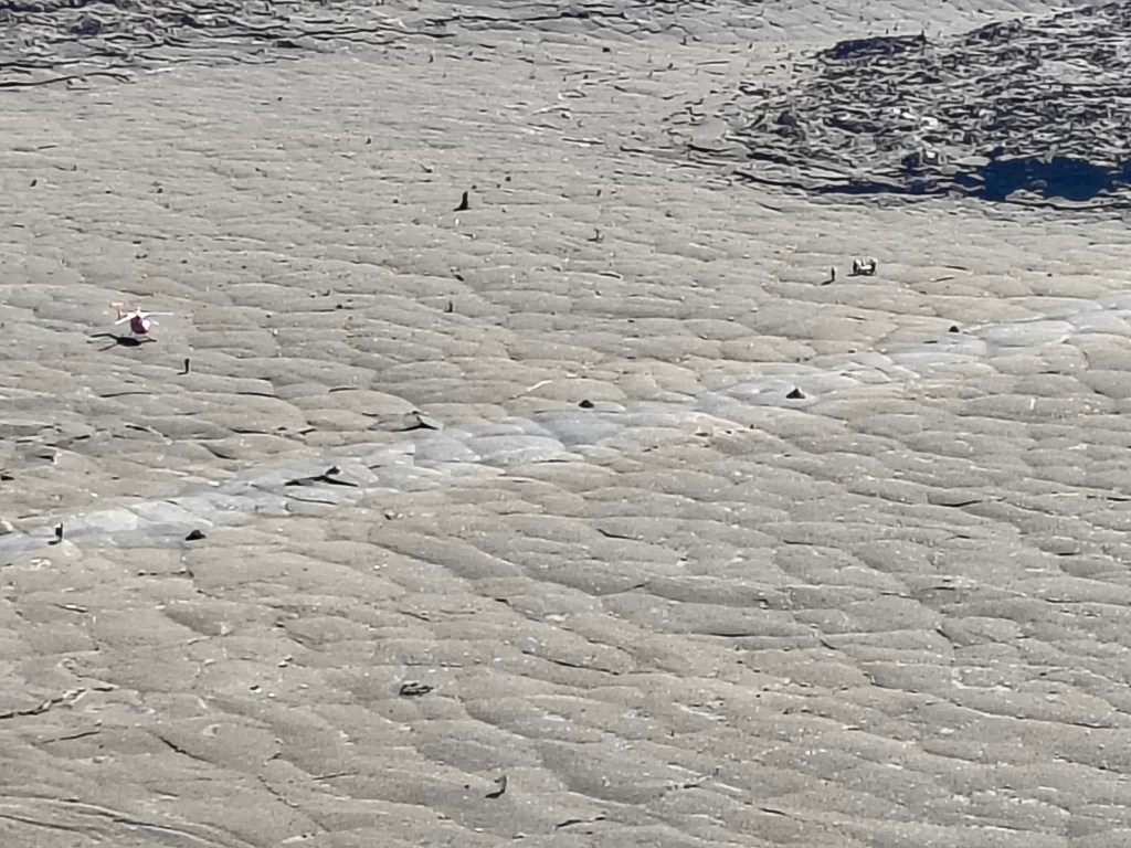
There was a hiking trail down to the crater floor (beyond the ambitions of any of us!) and we actually saw somebody on a gurney being airlifted out by helicopter. Hope they were ok.
Margaret and I settled for a shorter hike down to the Thurston/ Nāhuku Lava Tube, while mom and dad drove down to join us.
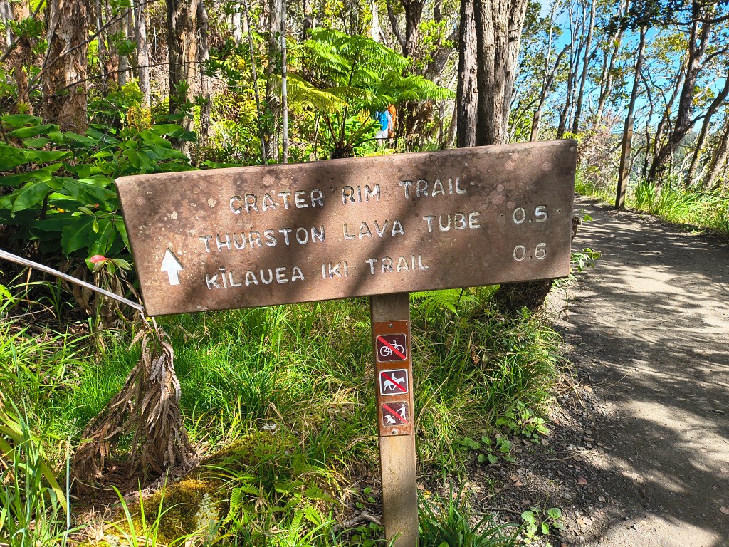
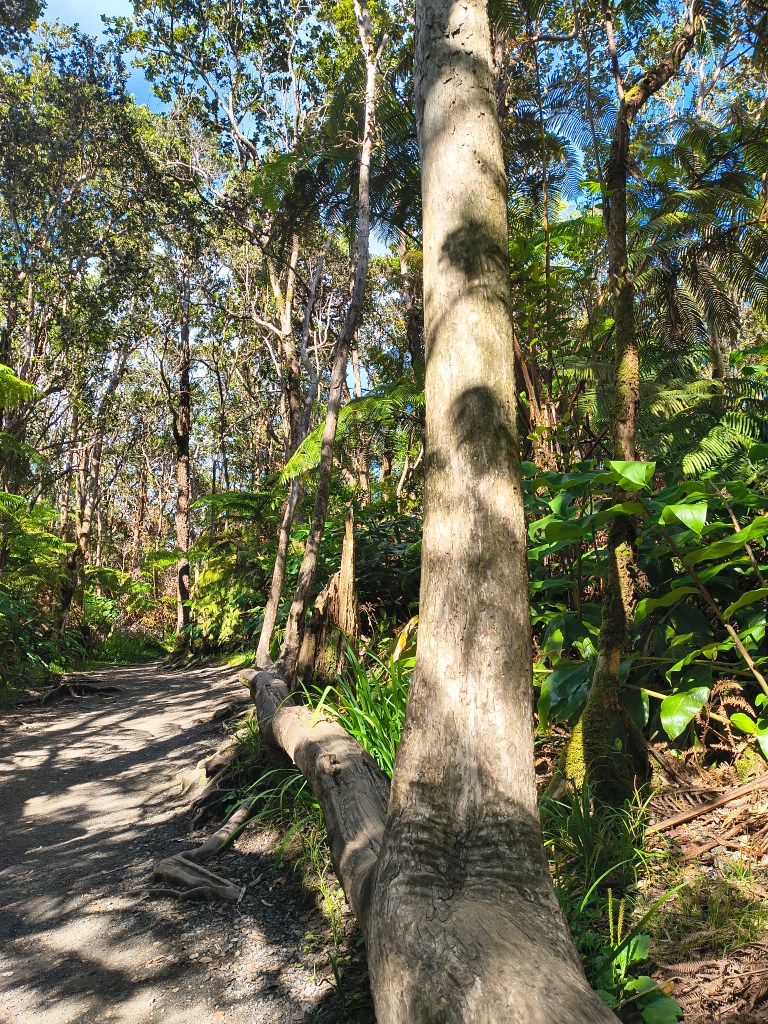
This tree looked like it fell over, with half its roots sticking up in the air, then sent up three more trunks vertically out of its original trunk!
Mom, Margaret, and I hiked into the lava tube. It’s partially blocked off right now while they repair a bridge, but we still got a good look at it. Lava tubes form when the top crust of a lava flow hardens and the molten lava continues to flow underground.
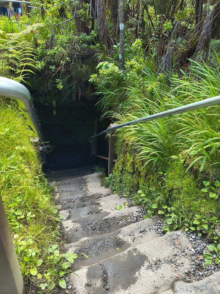
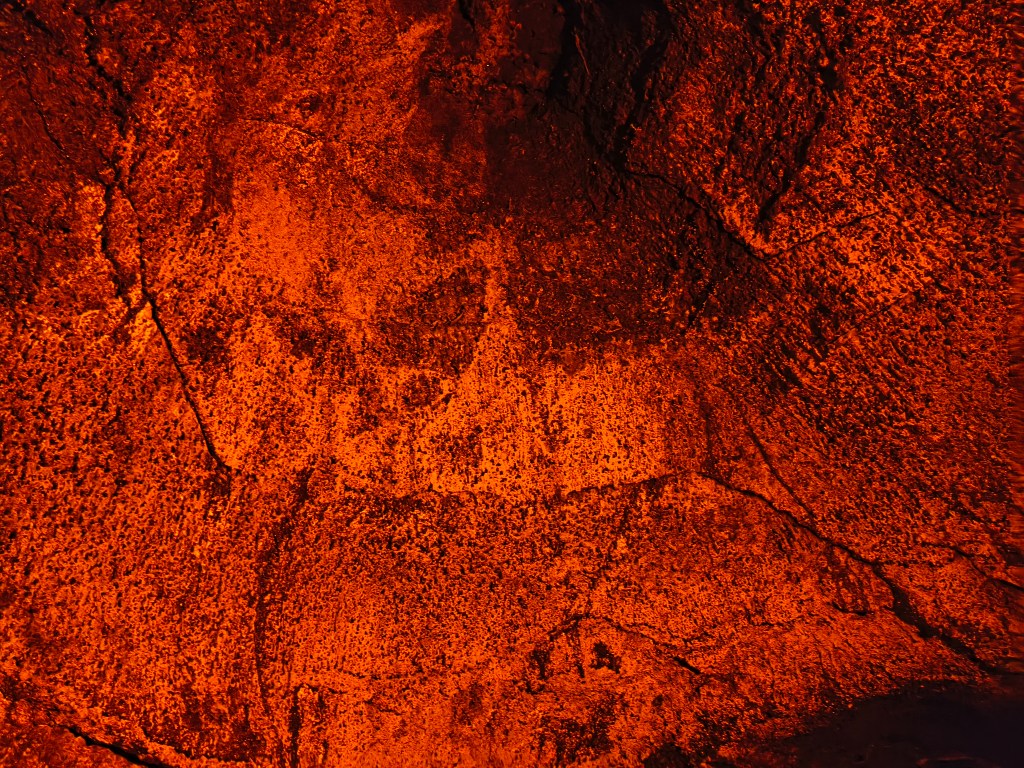
There appeared to be a dome overhead where the lava tried to break back through.
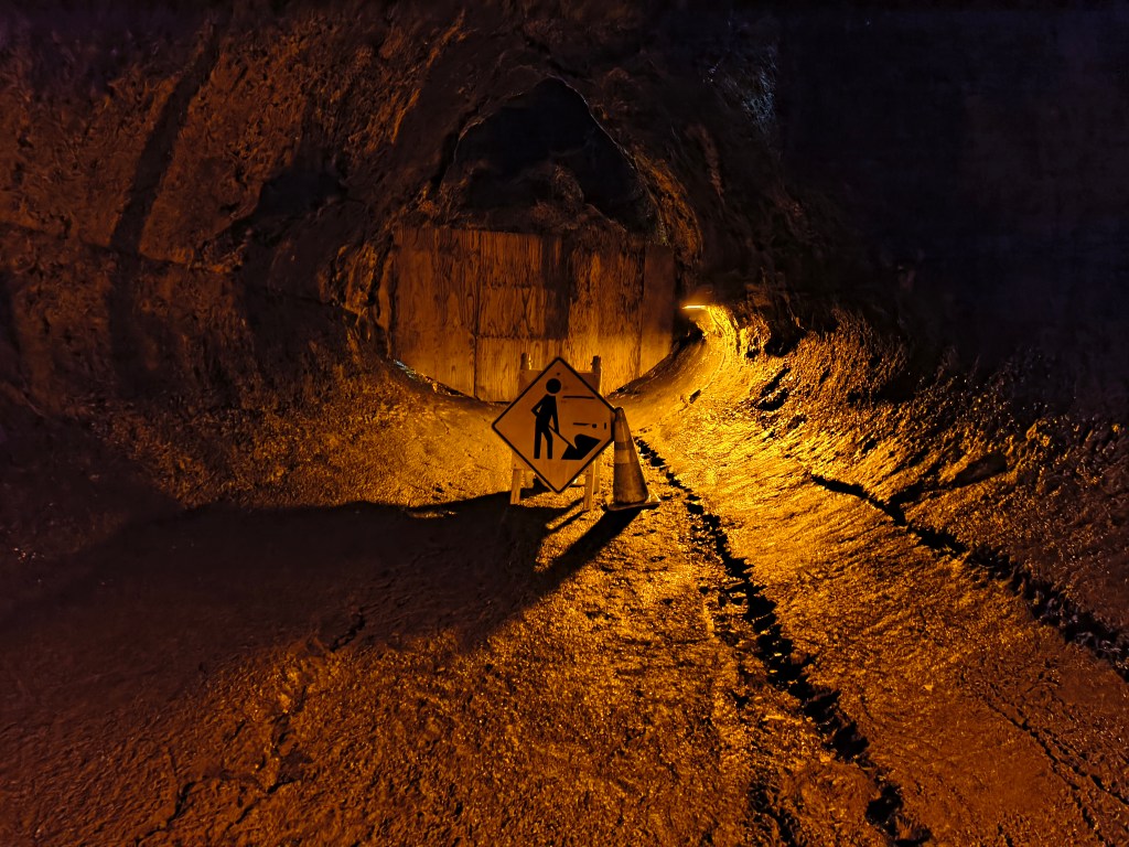
We continued from Crater Rim Road to Chain of Craters Road, which follows the path of the lava flows down to the sea. Along the way, we saw the most amazing rainbow.
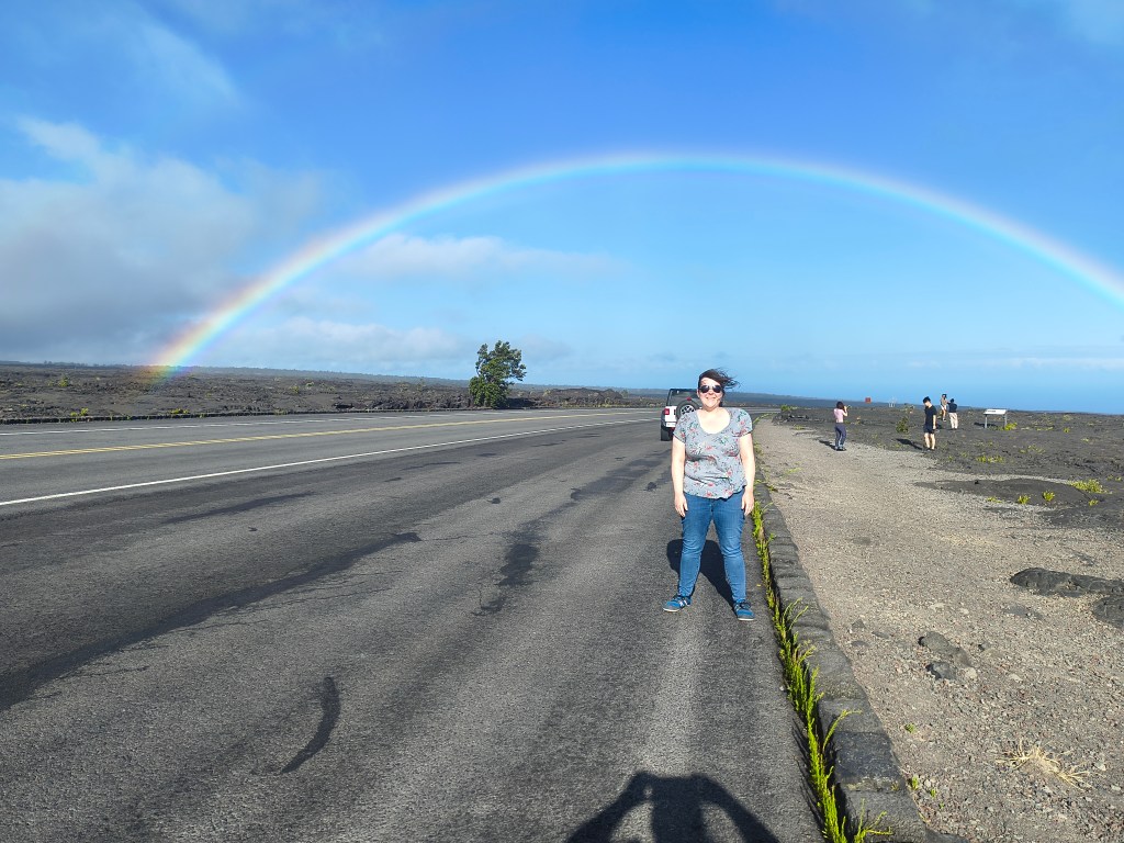
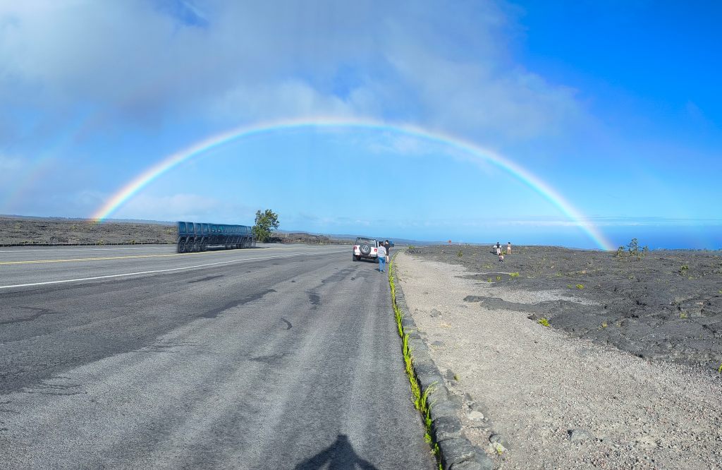
Soon we came in sight of what’s been called “the newest land on earth,” where fresh lava has crashed into the sea and hardened into a black rocky plain with a huge cliff above and a smaller sea cliff below. We drove in enormous switchbacks down the face of the cliff.
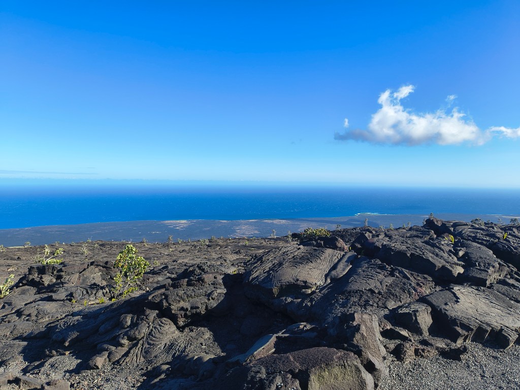
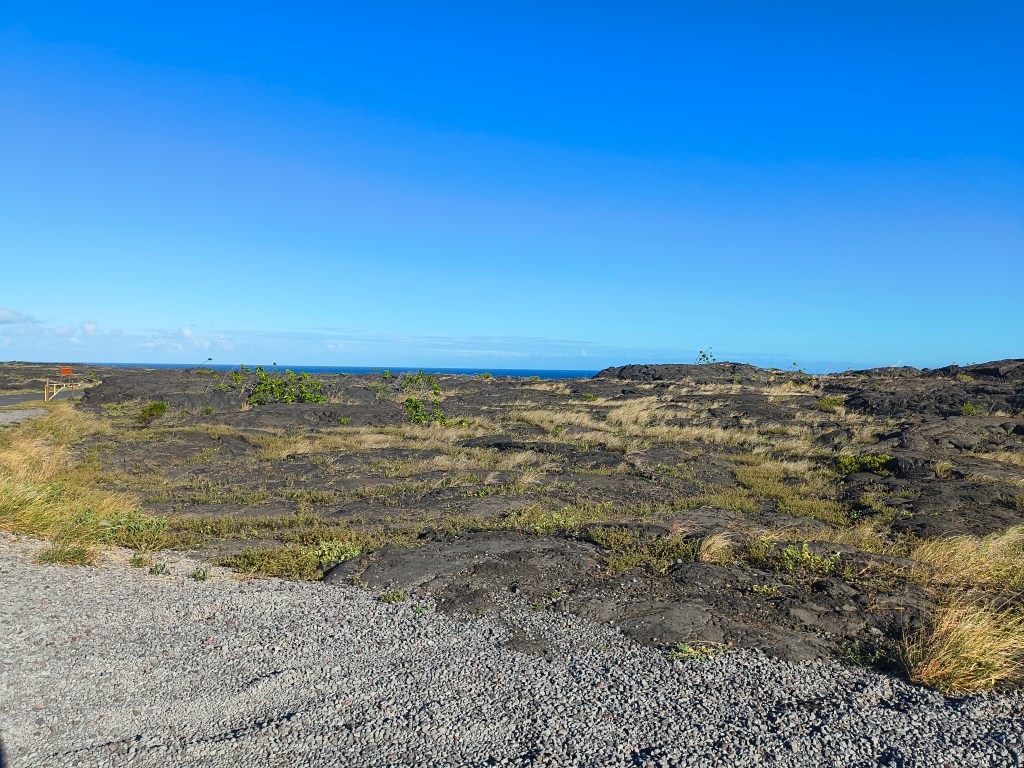
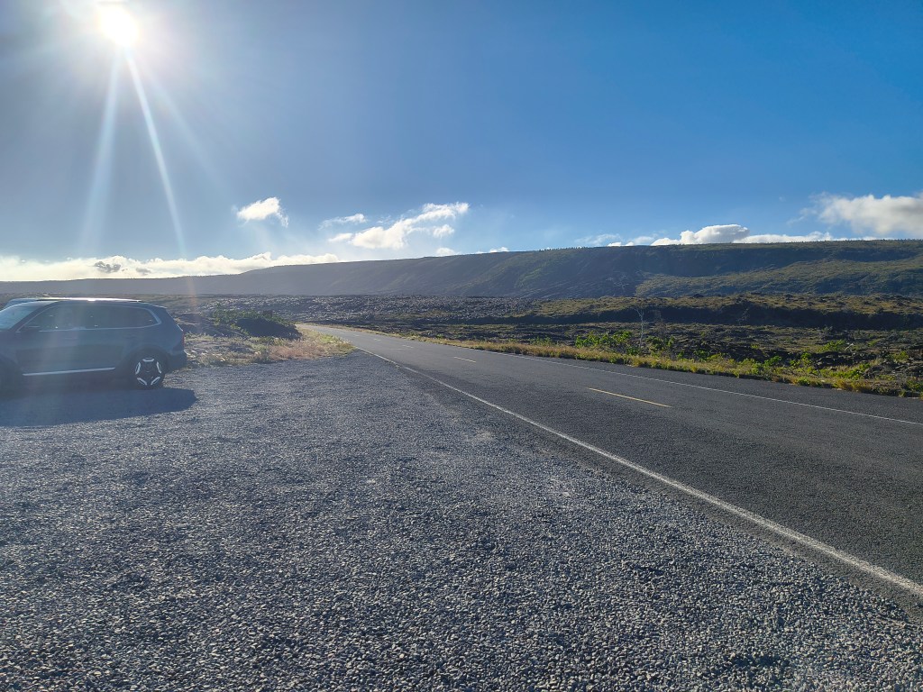
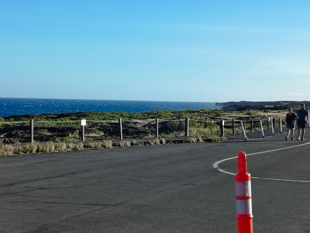
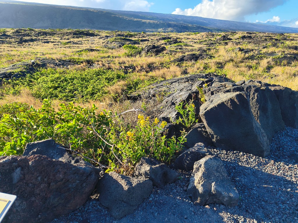
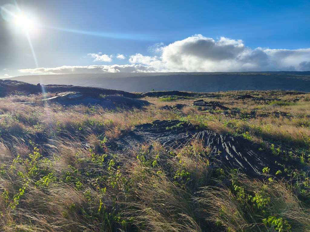
We got out and walked at the bottom. There was an overlook where you could see a sea arch, a temporary structure formed by dripping lava that will eventually be collapsed by the pressure of the waves.
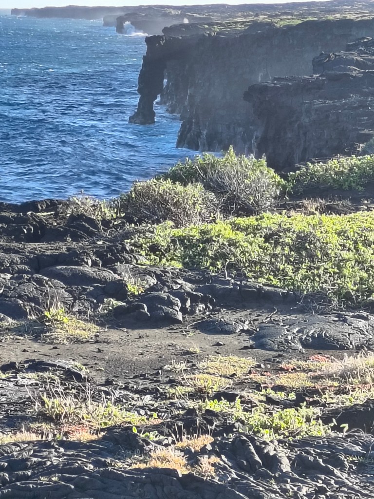
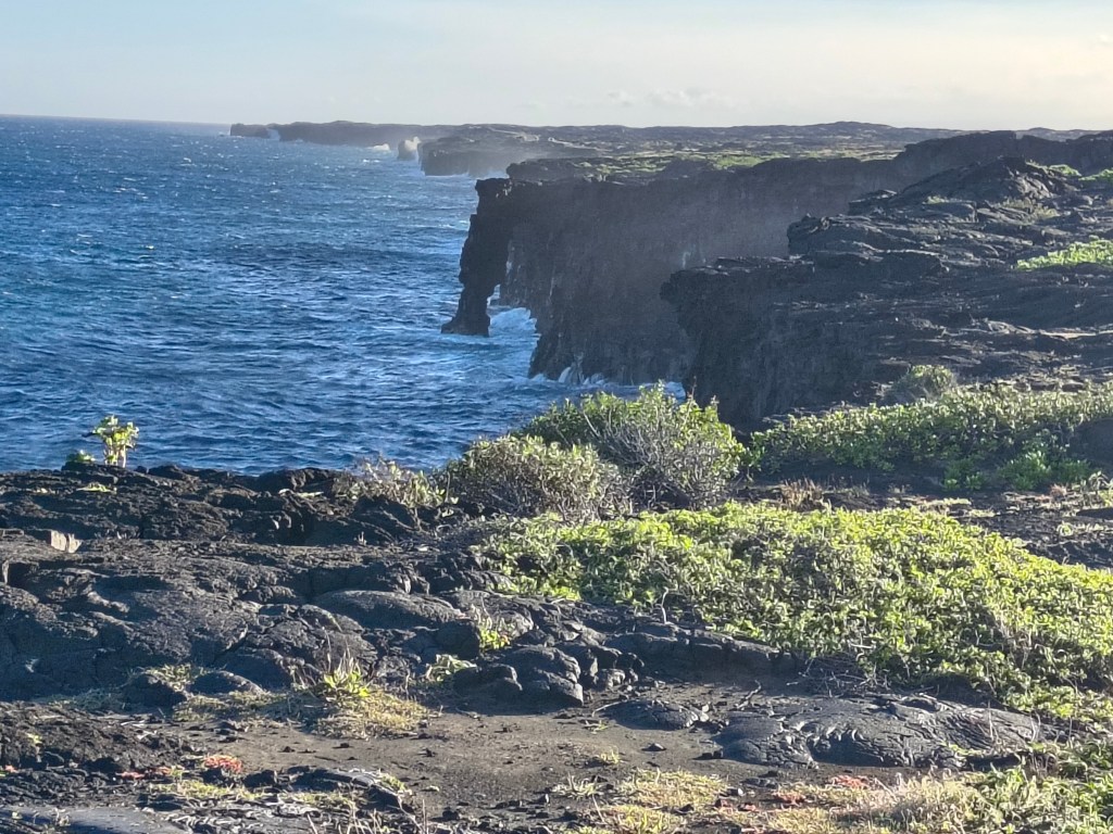
The south and east sides of Hawai’i Island have very few sand beaches because so much of them is made of geologically recent lava flows like this one. In many places, there hasn’t been enough time for the sea to break them down into sand, so the land still terminates in razor-sharp lava cliffs. Beautiful to look at, but not good for swimming. The older northwest side of the island has more of the sandy beaches, and hence more of the tourists.
Our day at Volcanoes National Park made for a very full day, so the next day (Tuesday) we took things easy for much of the day. Our VRBO house in Hilo is very pleasant, surrounded by tropical flowers, birds, mongooses, and the occasional feral pig.
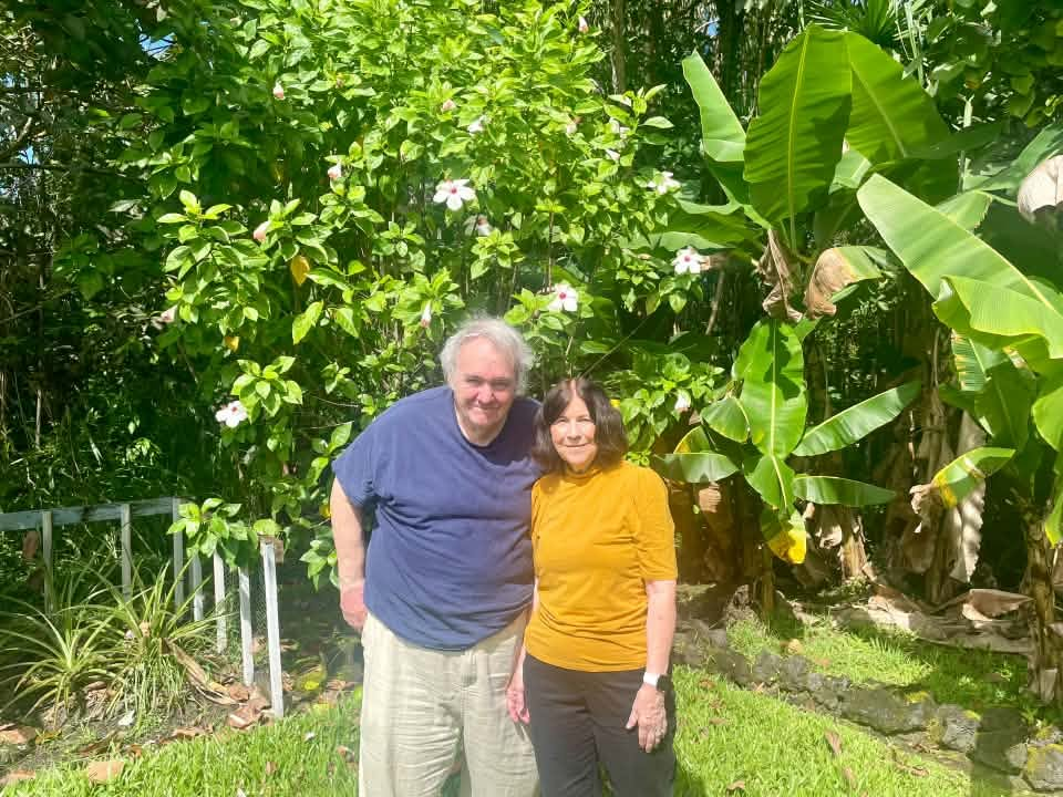
(H/T Margaret Bush for these photos)
In the late afternoon, we went down to the nearby seaside, met a couple of locals watching for turtles, and saw a turtle ourselves swimming in the waves.
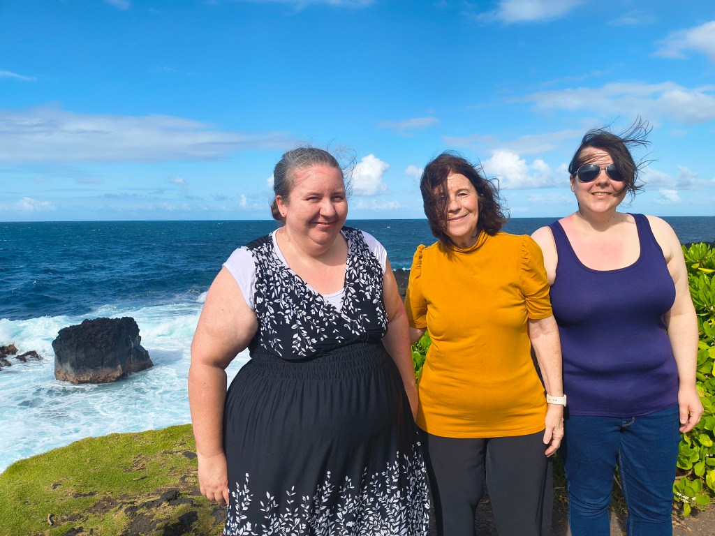
Then we continued on to Mauna Kea, which rises 13,800 feet (4,206 meters) in the center of the island. To go to the summit, you have to have a four-wheel drive vehicle and you have to stop at the visitor’s center at 9,000 feet for at least thirty minutes so that your body has a chance to acclimate to the rise from sea level, and there are dire warnings against going up there if you have various medical conditions. We decided none of us needed to go that high; we just went to the visitor’s center and waited until dark for the rangers’ astronomy interpretive program.
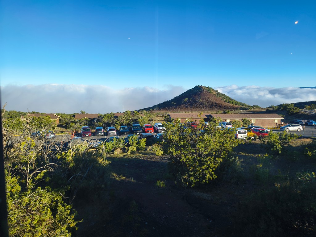
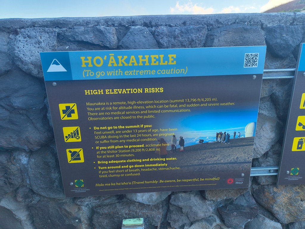
Mauna Kea is an interesting place. The abrupt rise in elevation and the flow of the trade winds create a permanent temperature inversion that traps moisture just below the level of the visitor’s center, so that you drive through thick fog and suddenly rise into sunlight just before you arrive there. If you are going, as we did, with the hope of a clear view of the stars, it takes faith to believe that you’ll get above the clouds! The transition really is startling.
However, the mountain is a uniquely ideal place for astronomical observations, being so far out in the Pacific away from light pollution and industrial pollution, and so high above sea level.
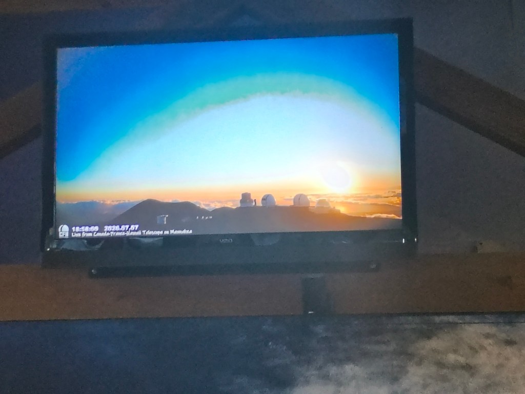
The visitor’s center had a live feed of the summit with all the telescopes lined up. There are several of them, owned and operated by countries all over the world. They have been part of several recent important astronomical discoveries, with indigenous Hawai’ian names assigned to them.
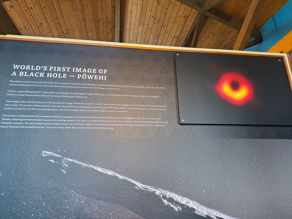
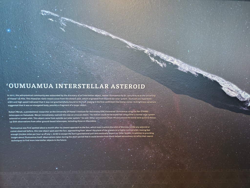
The visitor’s center also had a lot of information about Mauna Kea’s history and its religious, cultural, and technological importance to the early Hawai’ians. They mined stone there to make the cutting tools that were necessary to their civilization, and they built a number of shrines there.
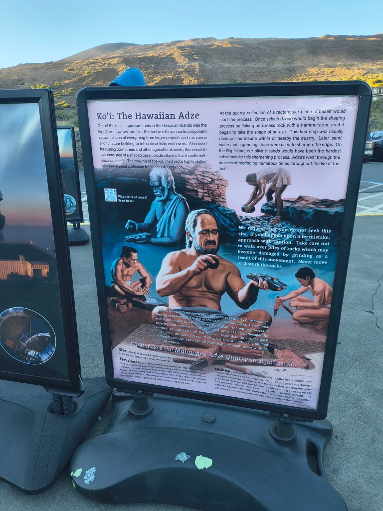
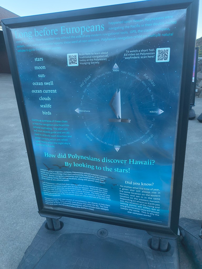
In time, the sun went down, the explorer-tourists who had gone on to the summit returned, and the stars started to come out.
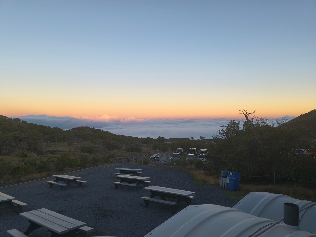
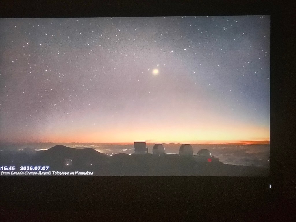
The ranger had a powerful laser pointer to show us the constellations that we could see. Uniquely, the North Star and the Southern Cross were both visible in the sky on opposite horizons. With its mix of elevation, lack of light pollution, and proximity to the equator, I suspect Mauna Kea is one of the few places on earth where you can get a good unobstructed view of both at once.
I didn’t try to take pictures of the stars with my phone because I didn’t think they would come out. However, Margaret, who knows much more than I do about getting the best out of a camera phone, got some amazing pictures of the stars and the Milky Way.
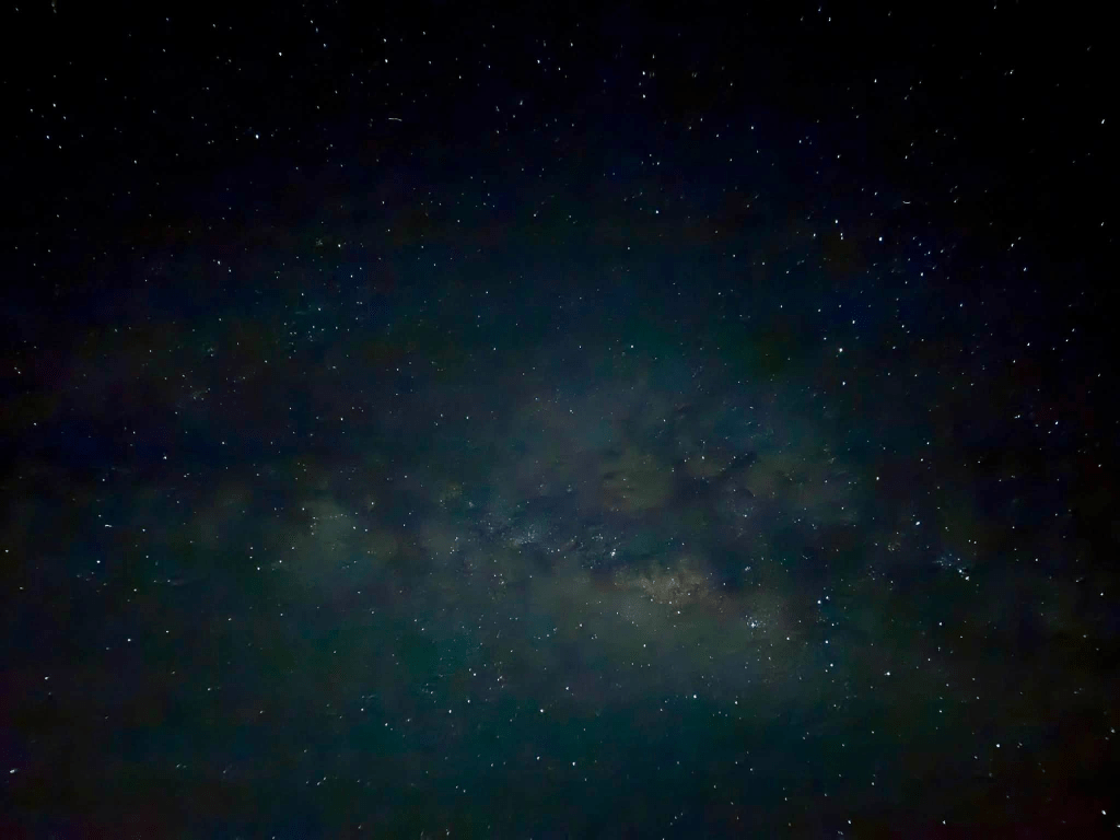
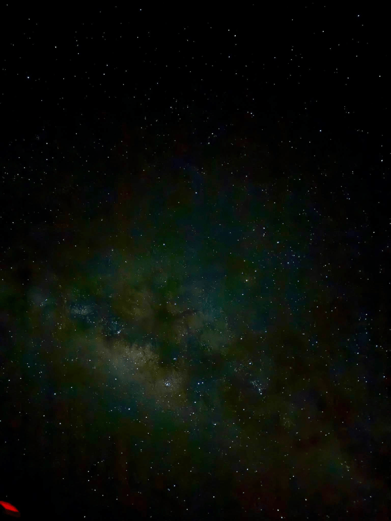
Thanks Margaret!
My only frustration was that the visitor’s center is right next to the road and parking lot, so there was a steady flow of car headlights, and the other tourists weren’t practicing good discipline with bright flashlights, so my eyes never got fully night-adjusted. Great Basin National Park in Nevada is better for astronomy in that regard, as they have a separate ampitheater with low red lights and no traffic around, and they enforce flashlight/ cell phone discipline. But Mauna Kea is a beautiful place with a unique equatorial perspective on the heavens, and I’m SO glad we got to visit.


Leave a Reply