I landed in American Samoa late on Wednesday night. The airport experience was a bit representative of American Samoa’s peculiar relationship with the U.S. as a whole. U.S. citizens arriving in American Samoa from a U.S. airport still have to go through immigration, present their passports, fill out a customs declaration form, and have their suitcases X-rayed on the way out the door. And yet there’s standard TSA signage and standard American airport security practices in place. All that is because American Samoa is under U.S. federal jurisdiction, but it has a few degrees more of independent self-government than other U.S. territories like Puerto Rico. I have a fair amount of experience with international travel, and of course with domestic U.S. flights, but this was like a weird hybrid of the two.
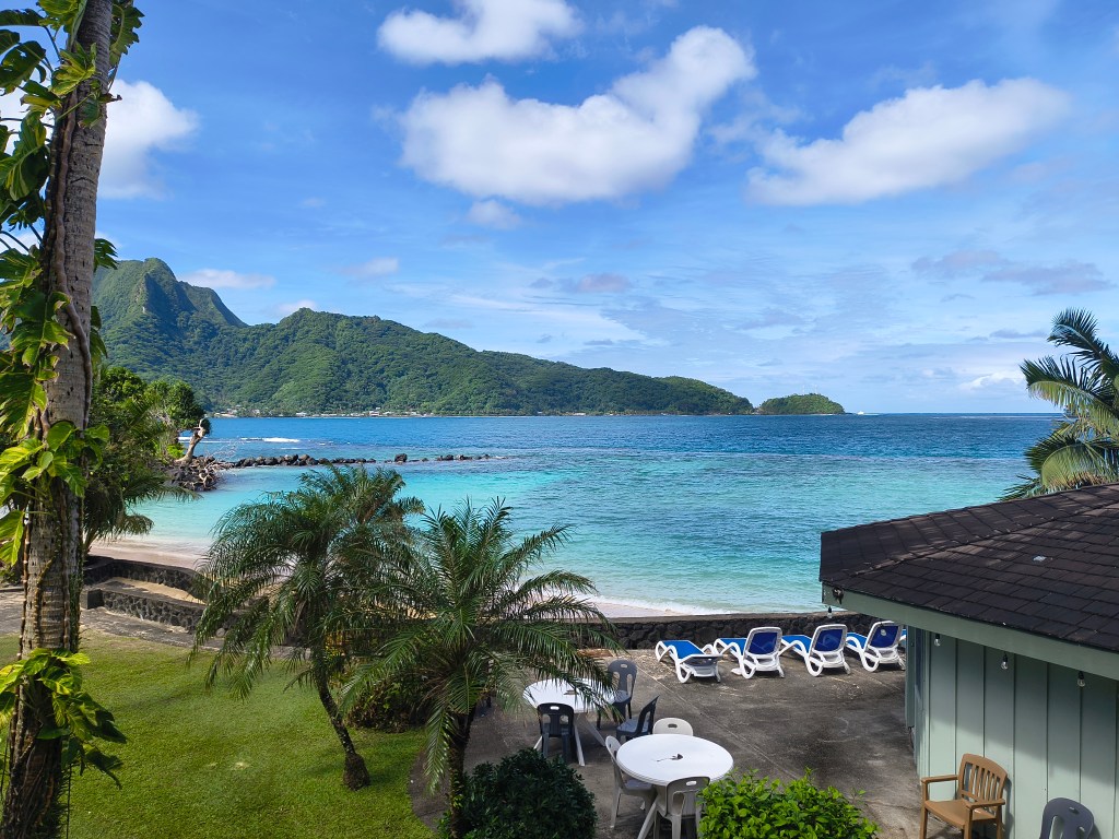
My hotel, Sadie’s by the Sea, sent a shuttle to pick me up from the airport. They also rented me a car for Thursday, July 2, so that I could go explore the national park. I decided to limit the car rental to just one day because frankly everything’s really expensive here. (Sadie’s makes things convenient by having a hotel, airport shuttle, restaurant, and rental car service, but they seem to have a bit of a monopoly here, so I guess they can charge what they like.) So I fit my sightseeing into Thursday, and I’m taking today (Friday) just to relax on my hotel room balcony with an incredible view of Pago Pago Harbor.
Thursday morning, after breakfast in the hotel restaurant overlooking the harbor, I got my rental car and drove into the American Samoa National Park.
Only part of the park is on this island (Tutuila, the “big island” of American Samoa with 97% of the population). There’s a wide area of protected coral reef as well as park features on some of the smaller islands. People who want to “do” it thoroughly plan ahead, book snorkeling tours, transportation to the minor islands, etc. That’s not my ambition with my national park visits… I am content to get a “taste” of each one, and to do at least one typical activity in each. So I had already decided just to see what I could see of the park on Tutuila.
The signs directed me onto a steep, winding road over a mountain pass. Tutuila formed from volcanic activity and it rises very sharply out of the ocean floor to peaks that are more than 2,000 feet above sea level, on an island that is only 57% as big as the area inside Loop 610 in Houston (55 square miles).
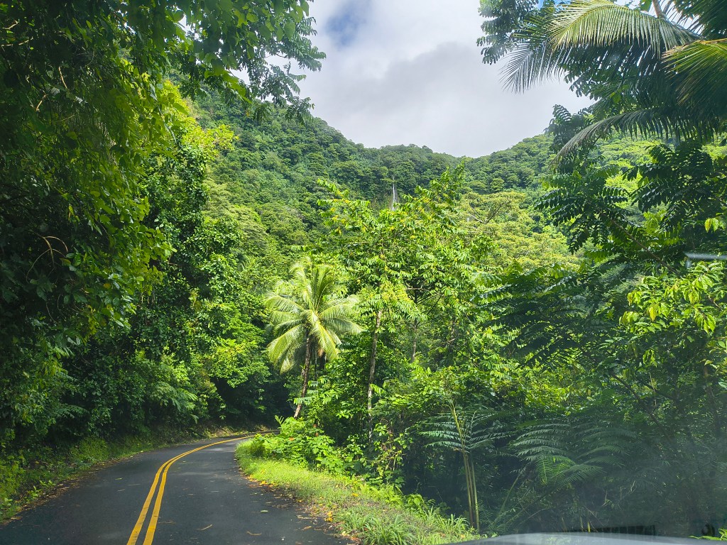
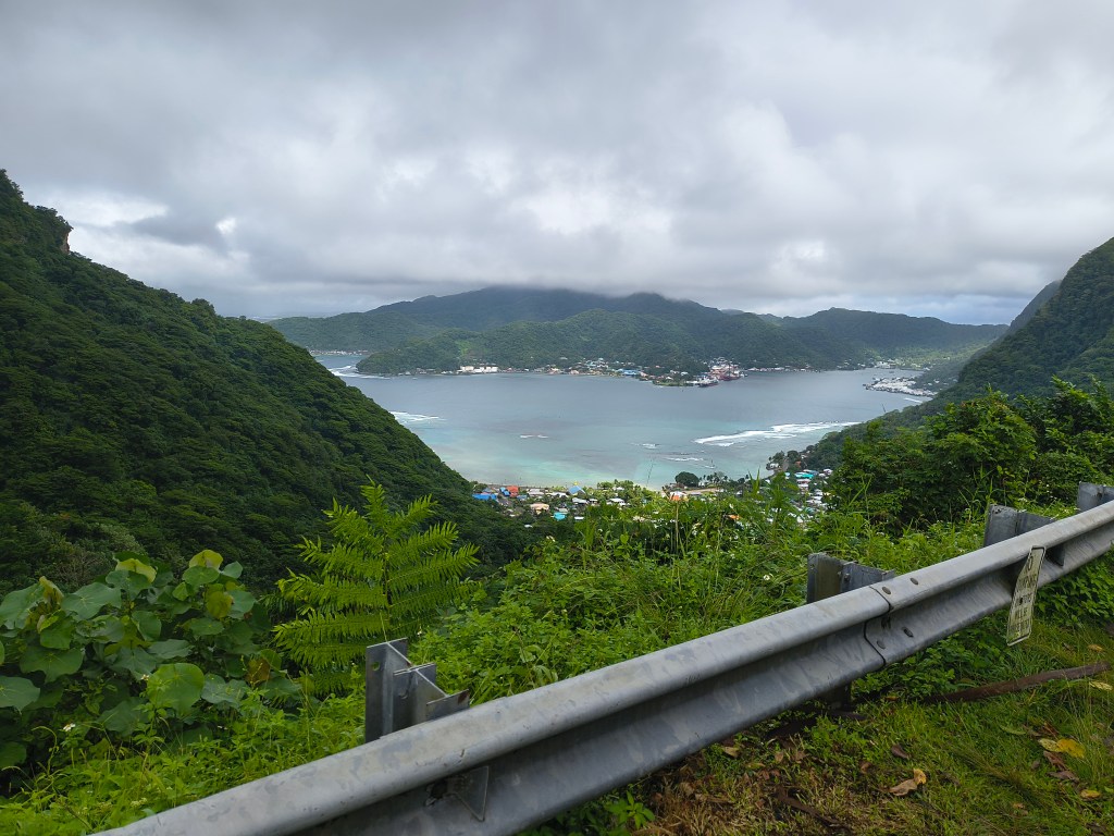
Once you get away from the coast where the housing and industrial activity are (including one of the main canning facilities for Starkist Tuna), the mountains are incredibly quiet, full of the sound of wind and birdsong. The island is a tropical rainforest, and something like a third of the species here are found nowhere else on earth. On the climb up the pass, I stopped and got a great view of Pago Pago harbor (including my hotel — the blue crescent of buildings just to the left of the port with the large ships.)
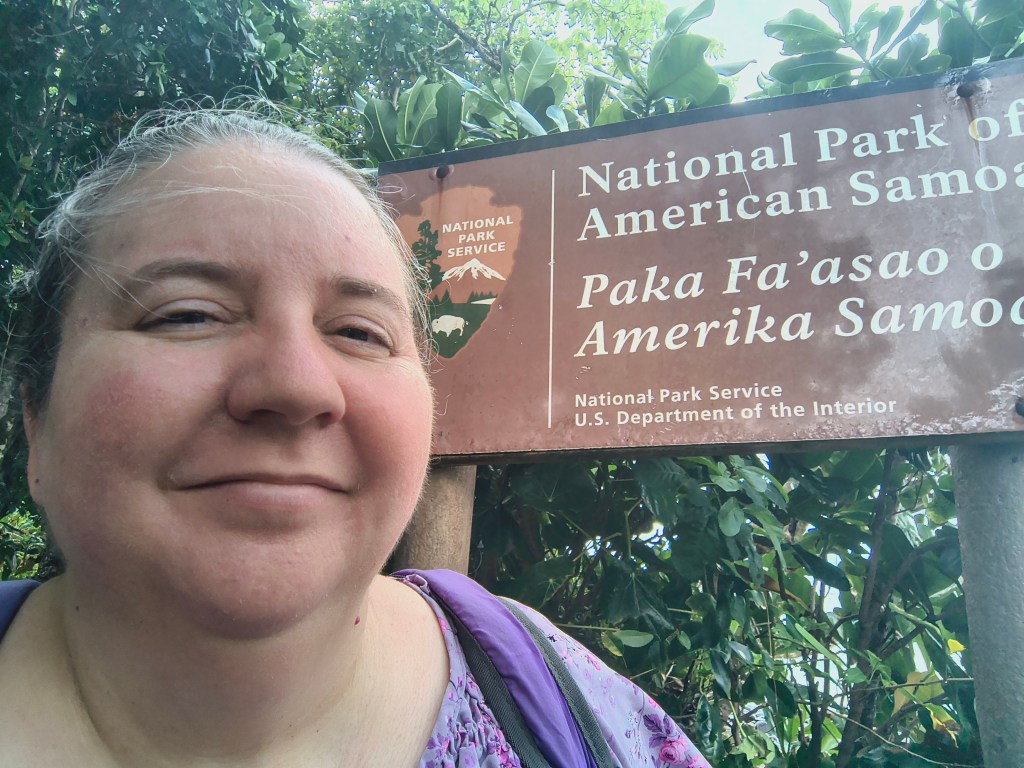
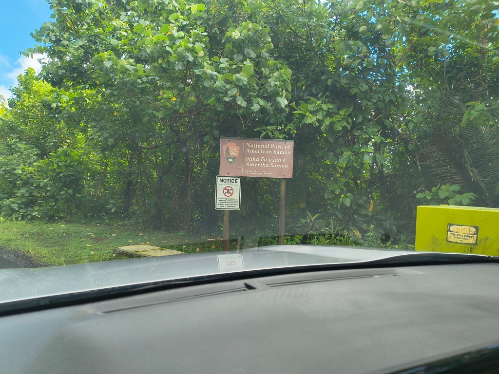
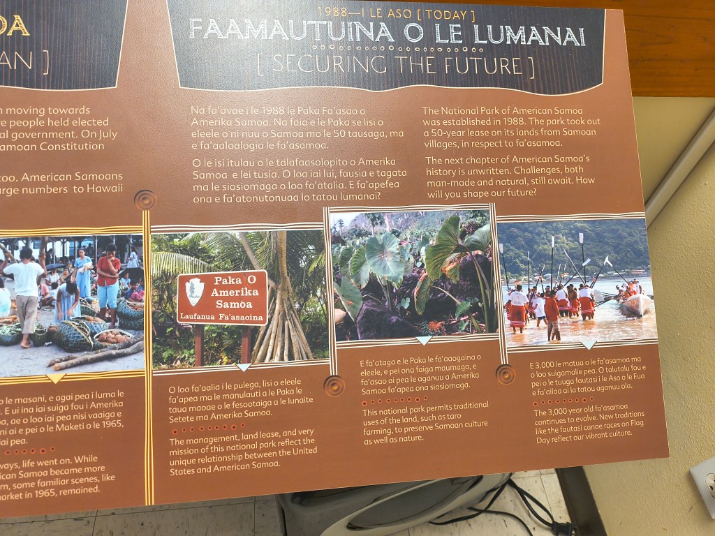
The national park here is a bit different from most of the parks on the mainland in the way it is owned, set up, and run. American Samoa maintains a traditional structure of communal land ownership overseen by matai (tribal chiefs). Even Pago Pago, the capital, is just another in a string of tribal villages along the coast road, with a few added buildings for the governor, legislature, etc. Outsiders are not allowed to own land here at all. In respect for this structure, the U.S. government does not own the park land; it has a long-term lease on it and manages it in cooperation with the tribal councils. Apart from a visitor’s center in a leased upstairs space in Pago Pago, there is none of the usual park infrastructure… no admissions booths, rangers stations, concessionaires, etc. And of course there are no admission fees. You only know you’ve entered the park from a modest sign by the road; otherwise it blends in seamlessly with the surrounding jungle.
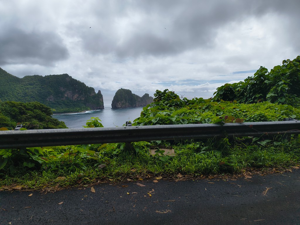
The first overlook I reached had a stunning view of Pola Island.
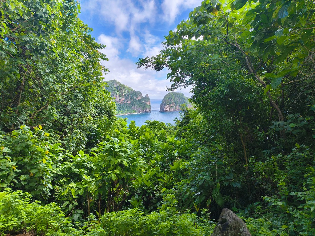
It’s important as a seabird nesting area, and also for its cultural history; young Samoan men used to climb the cliffs to show their bravery, and they would snare sea birds to create a communal feast for the villages. I can’t imagine climbing that, especially freehand with no gear!
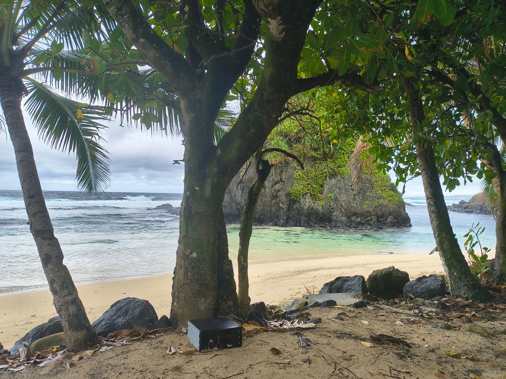
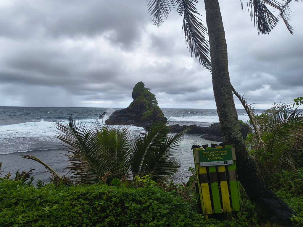
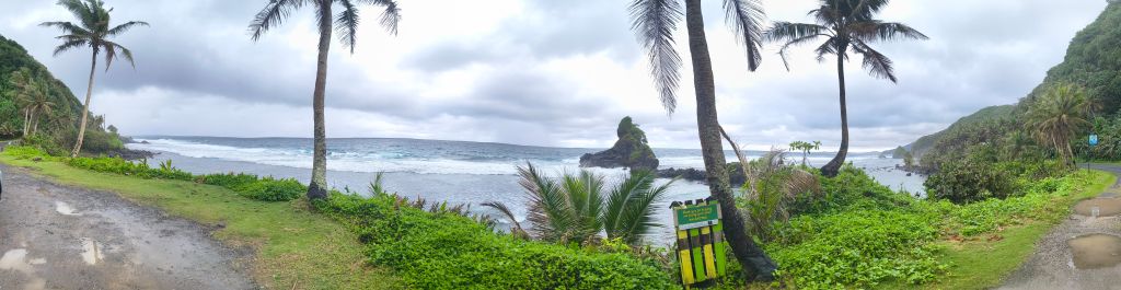
The road dead-ended just past the village of Vatia (contained within the park), more or less at the head of the peninsula reaching out toward Pola Island. I parked the car and took a short hike (< 1/2 mile) to a spot near the end of the peninsula, where I could see the arches and sea caves in the rocks.
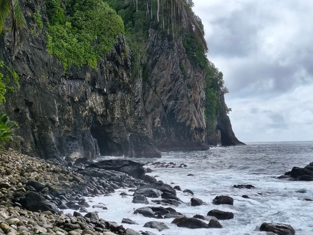
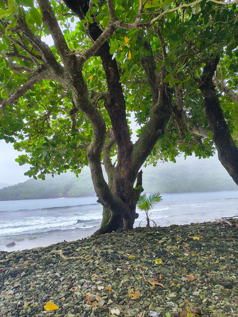
The whole coastline there was very rocky, and the waves made a grumbling sound over the boulders.
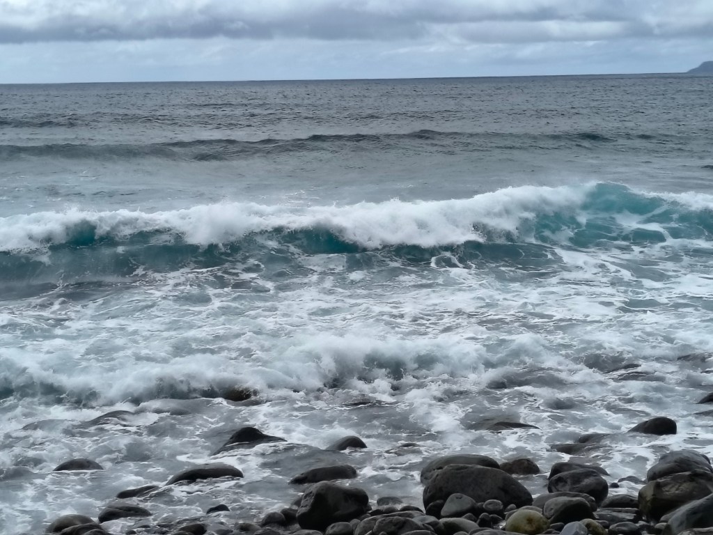
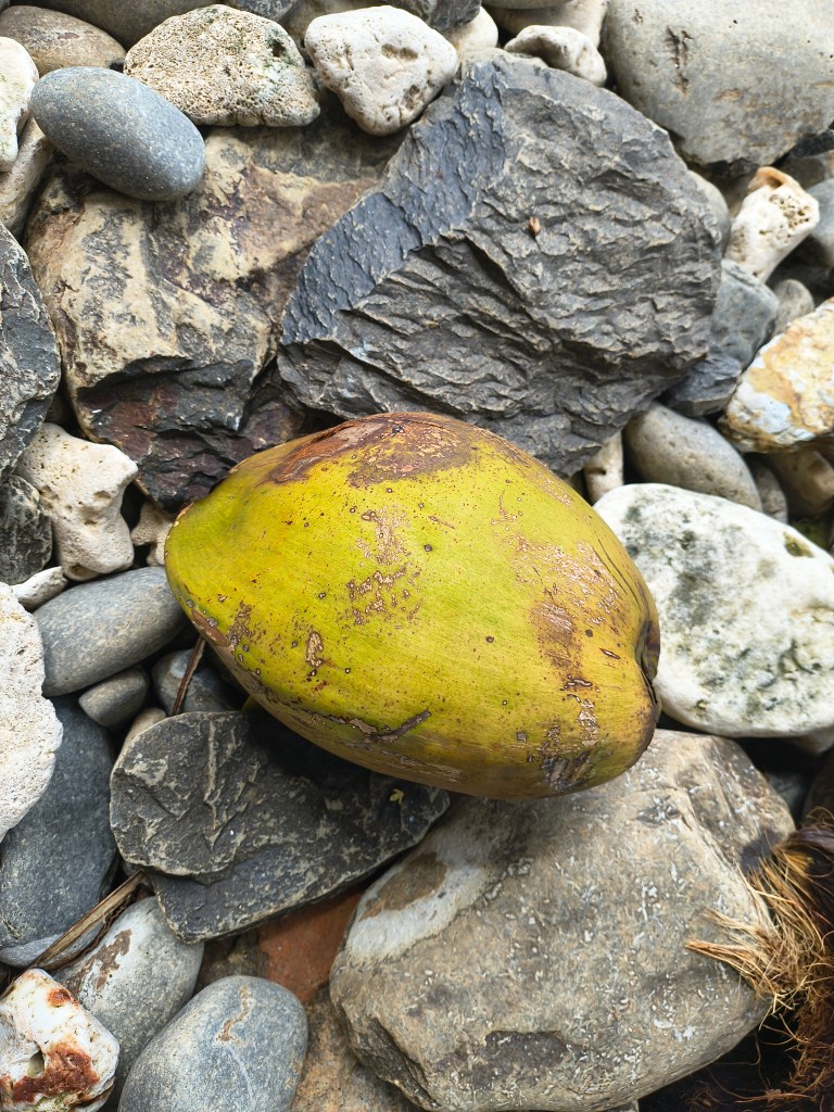
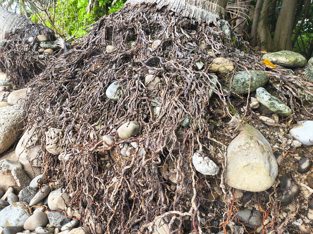
I sat at the edge of a wood of coconuts and mangroves, listened to the water, and read a book for a while in peace.
As I walked back to my car, it was starting to mist down rain. In fact the whole afternoon turned rainy… which seems a bit unusual, as this is supposed to be the dry season. But most of the rest of my activities for the day were indoors.
On my way back through Vatia, I got a couple more pictures:
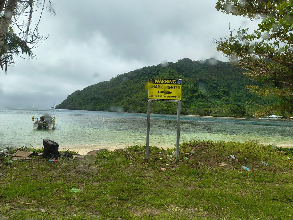
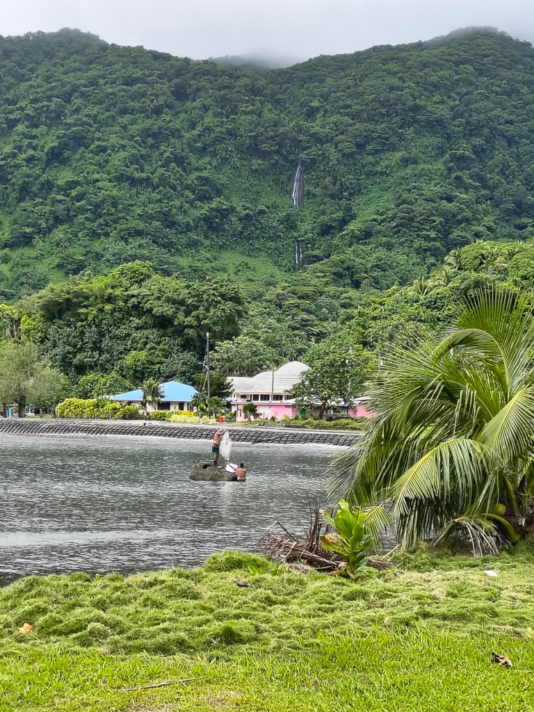
I guess the guys fishing aren’t too worried about sharks. I have a suspicion that the sign might be just to keep tourists off their village beach! (Also, check out that massively tall waterfall in the background.)
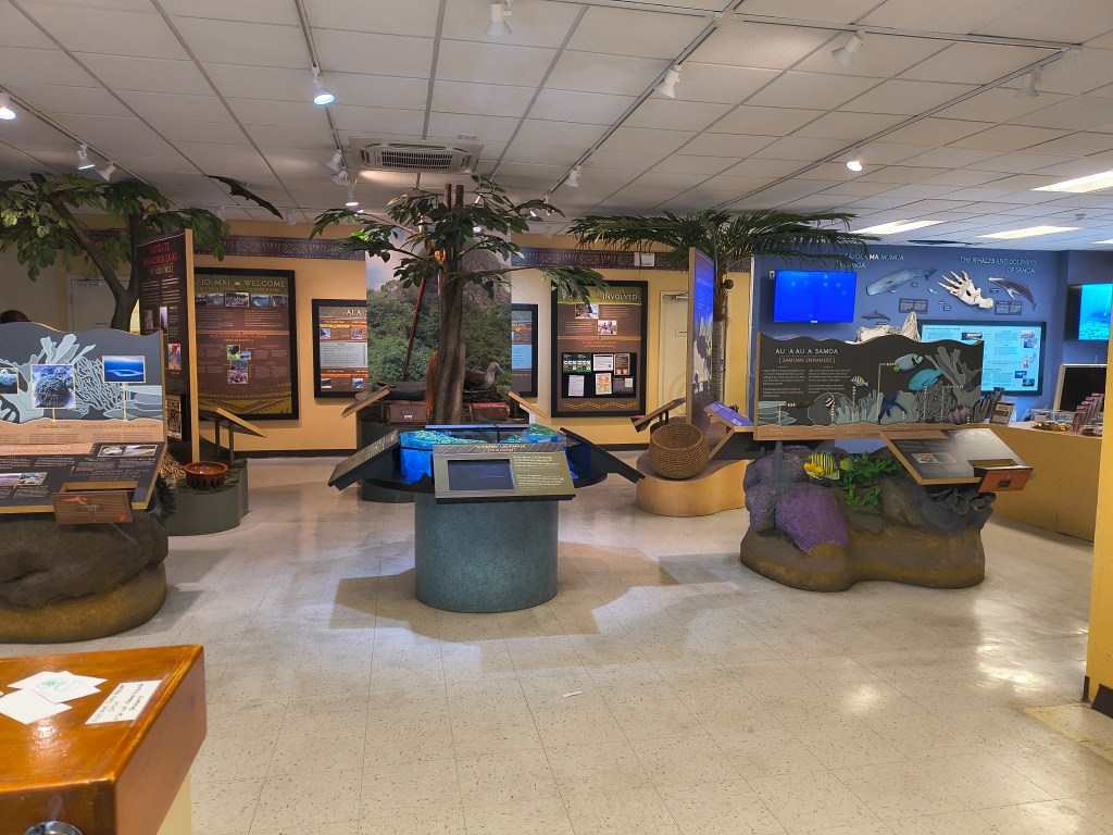
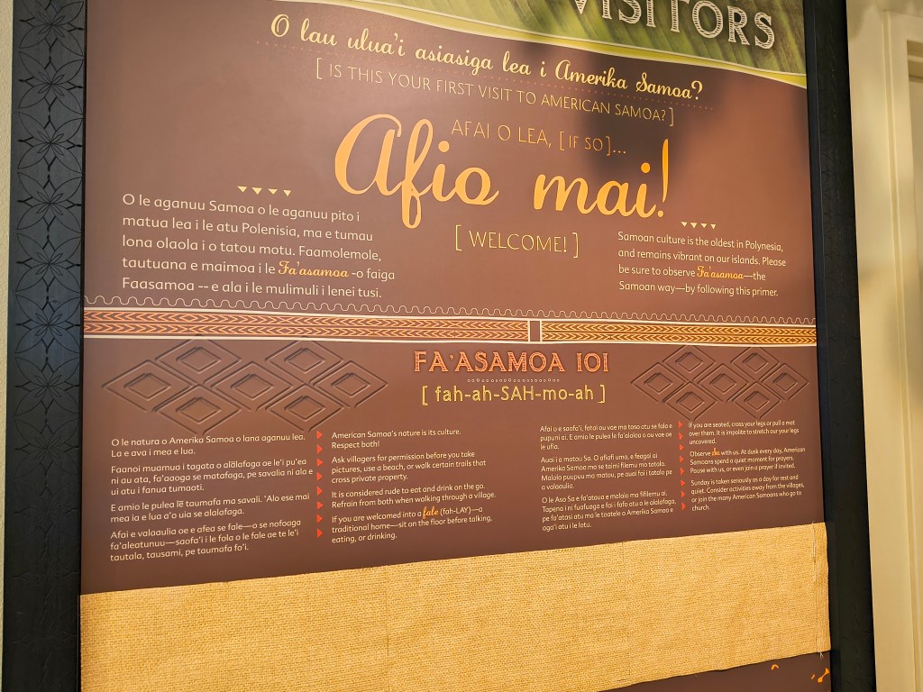
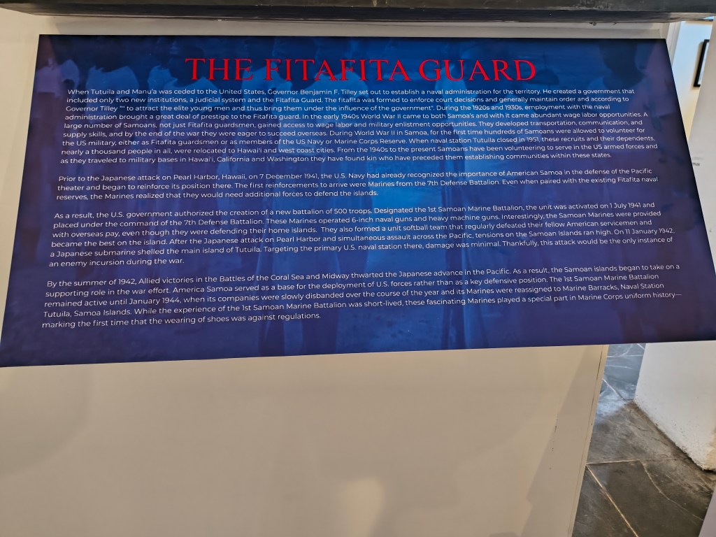
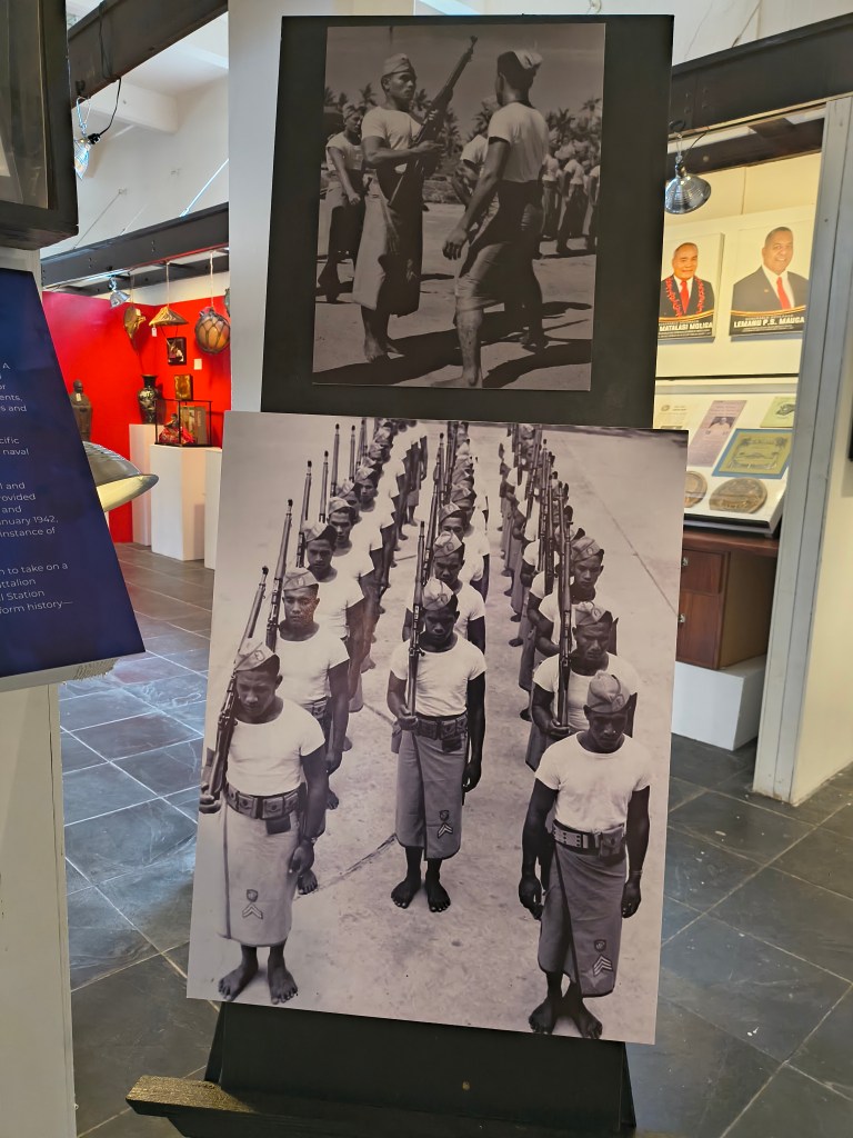
Back on the Pago Pago side of the pass, I paid a visit to the park visitor’s center (which was a bit difficult to find! but I got there eventually). It was small, but had some interesting tidbits not only about the islands’ flora and fauna, but about American Samoa history and culture.
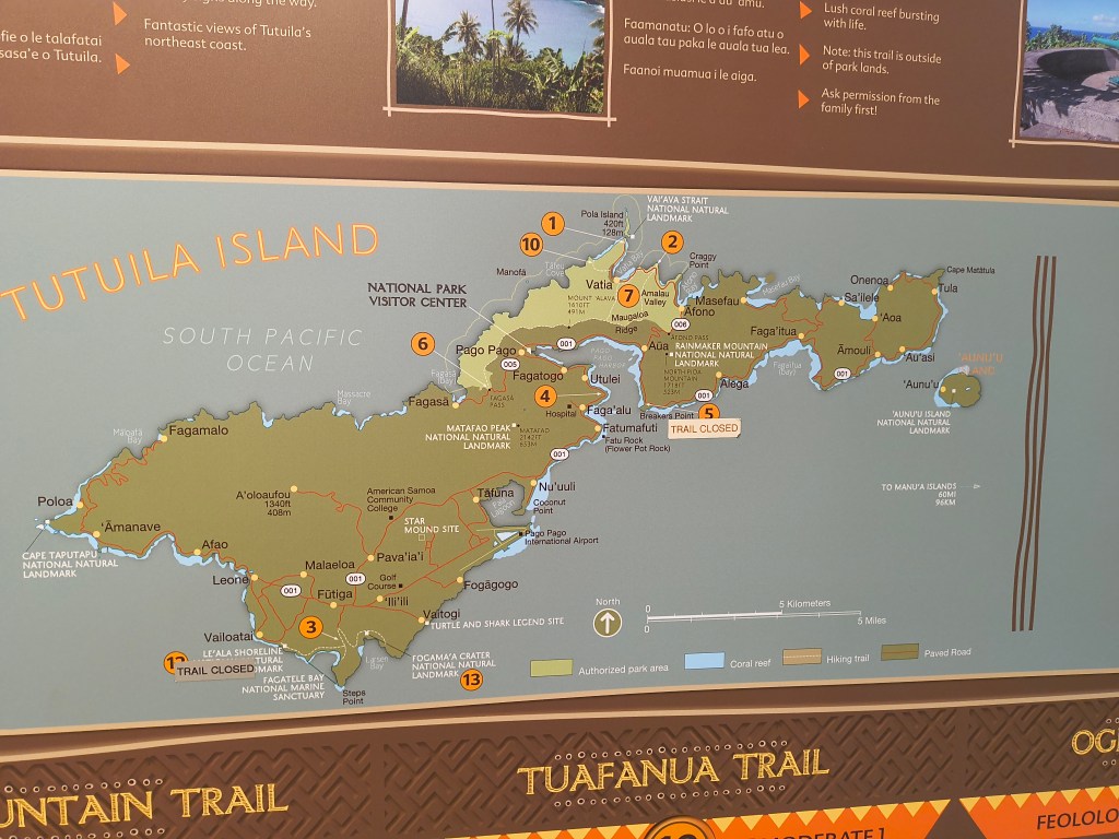
(The “mini-hike” I did was #1 on this map.)
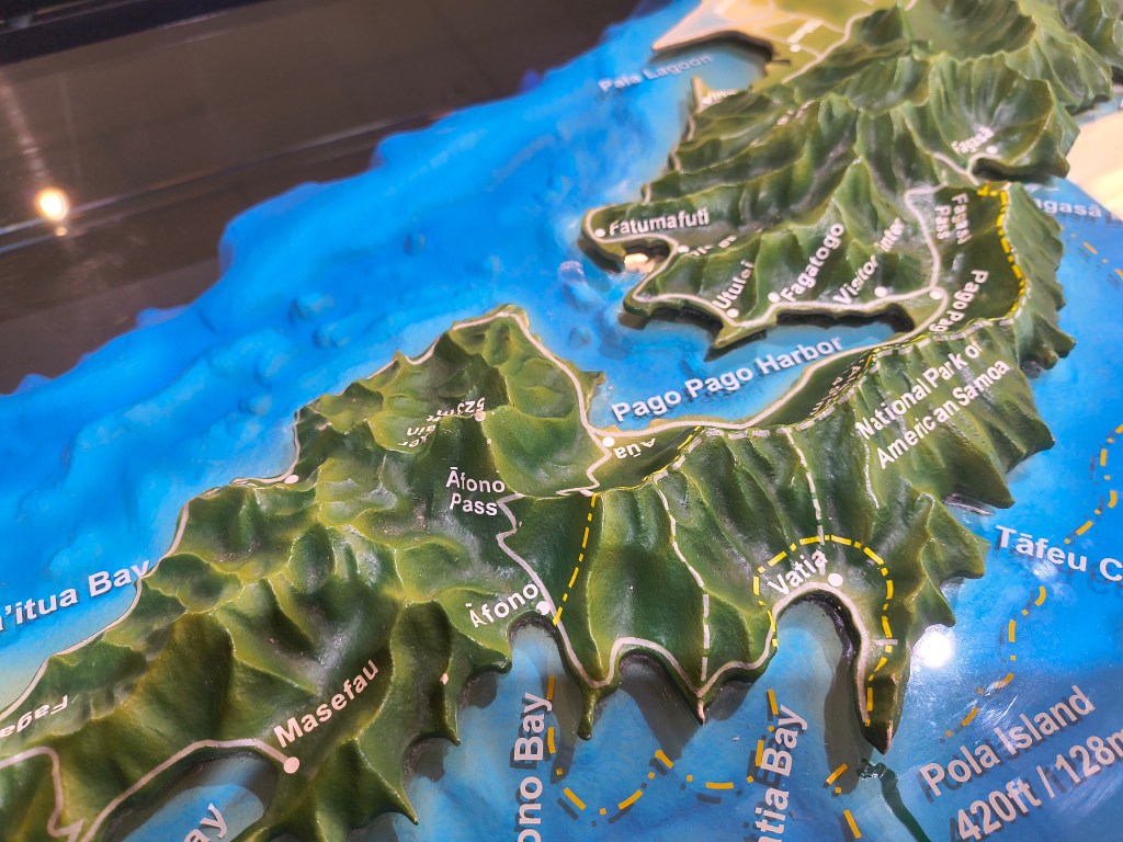
(Here you can see Fagatogo where my hotel was, and Vatia where I got out to walk, and the big mountain pass in between! This is looking upside-down from the north side.)
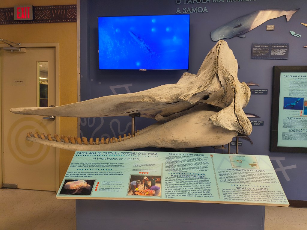
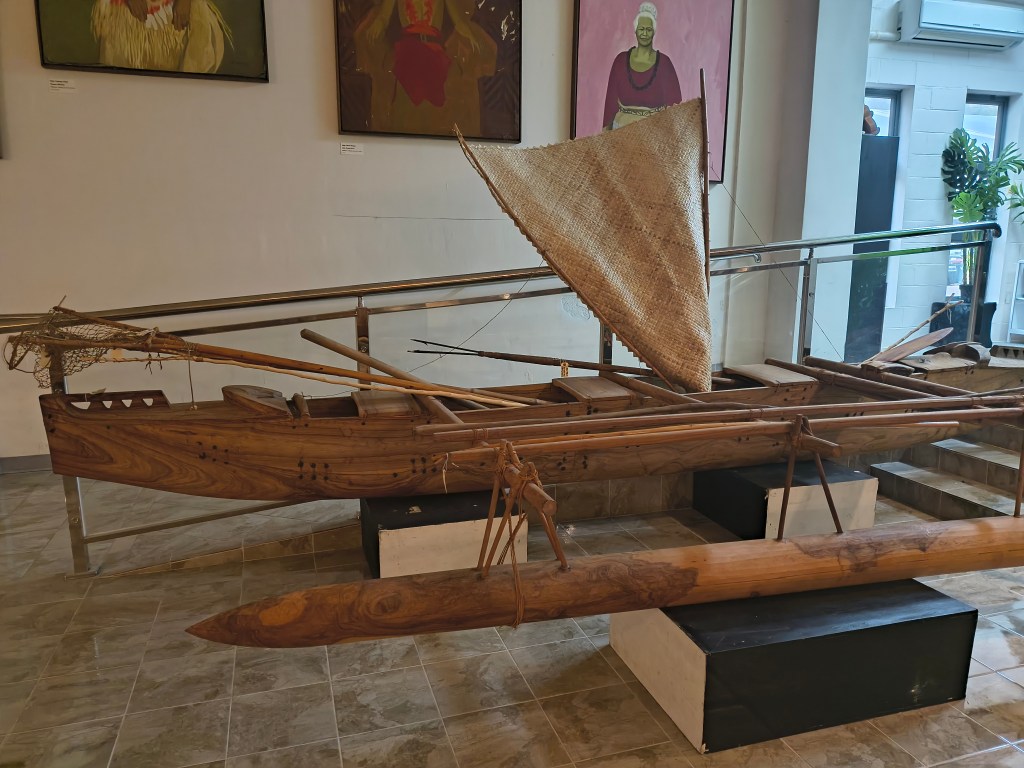
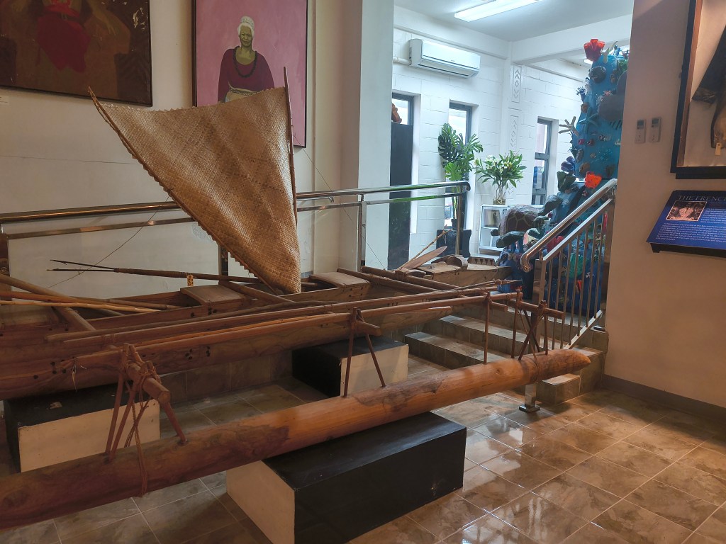
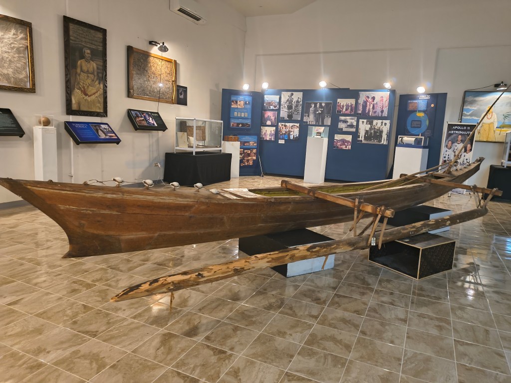
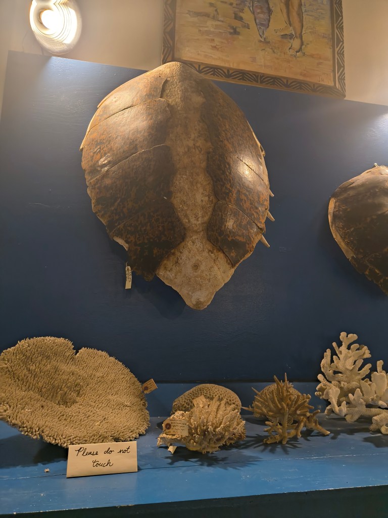
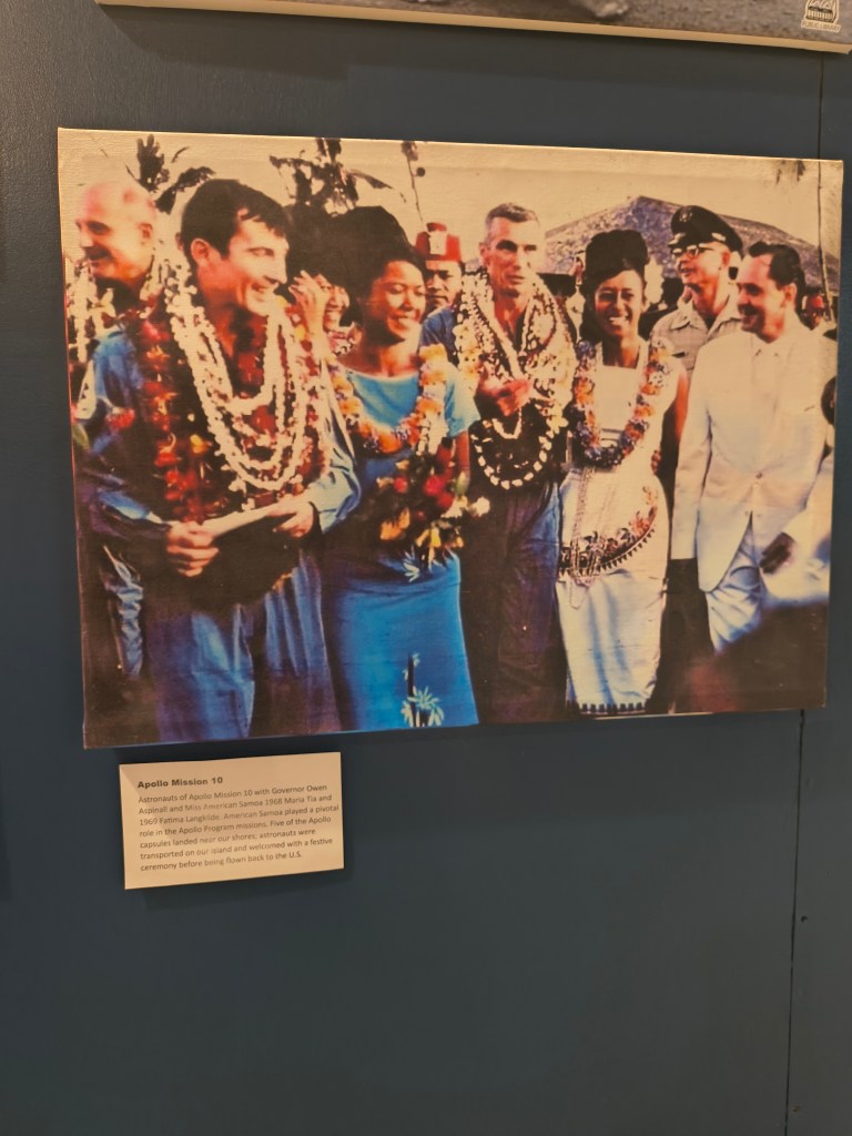
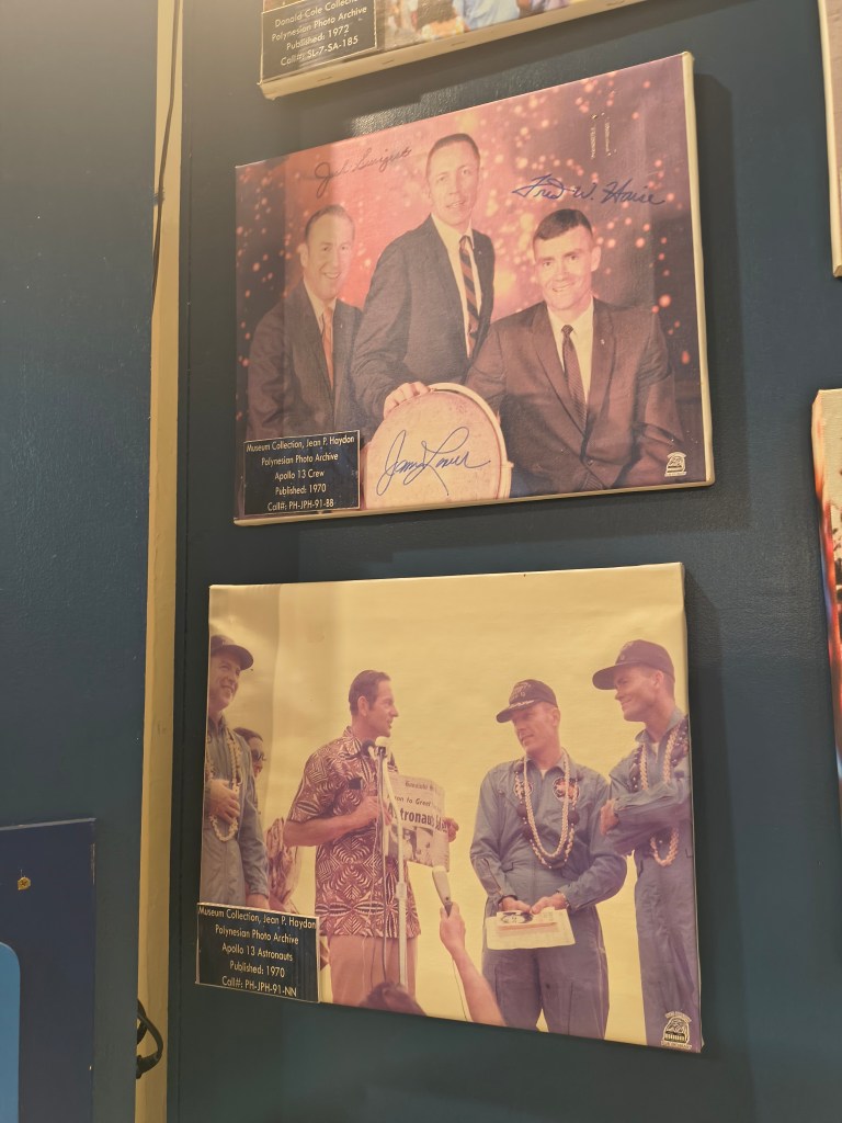
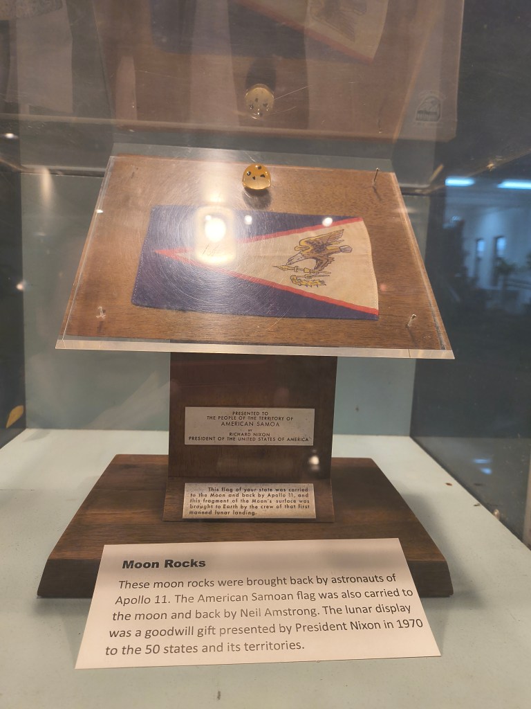
It was raining hard by the time I’d looked through the Visitor’s Center, so I went down the street to the Jean P. Haydon Museum of American Samoa. They were technically still open, but all the staff were bustling around to set up for an event that night, so I just tried to stay out of their way while I looked over the exhibits. They had everything from traditional crafts and artifacts (including full-sized outrigger canoes!) to moon rocks that were a gift from the Apollo missions – a piece of history they are proud of, as this was the first land stop for many of the Apollo astronauts after splashdown.
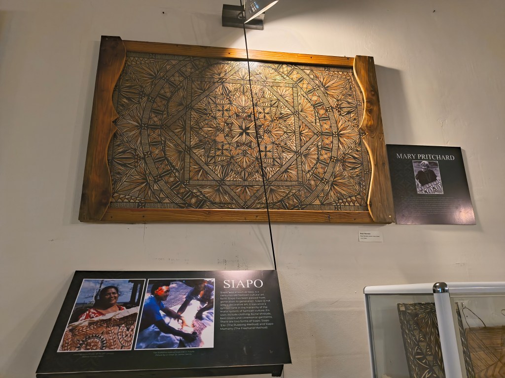
The textiles reminded me of the elaborately painted batik cloth I saw in Indonesia, though this may be a different process.
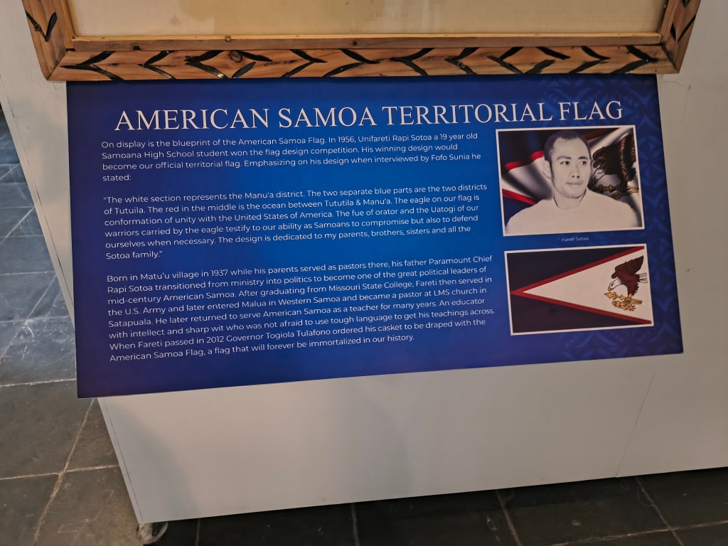
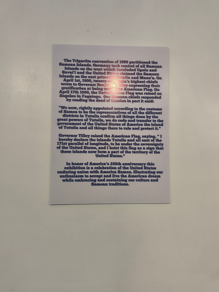
The exhibits also paid tribute to the U.S.’s 250th anniversary. I realized that it was July 2, the 250th anniversary of the actual signing of the Declaration of Independence in Philadelphia (though it was officially proclaimed two days later on the Fourth), and I was literally standing on the piece of the United States that was geographically furthest from that spot. They’re still gearing up to celebrate it properly here! I can only imagine what the founders would have thought if they had known that we’d be celebrating their signatures 250 years later and 7,135 miles away.
After the museum, it was still pretty wet for outdoor activities, so I decided to get the most out of my rental car with a drive east along the shore road to the farthest villages on the northeast shore where it dead-ended (Tula and Onenoa). It was quiet away from the tourist/ industrial areas around the harbor, with some spectacular scenery.
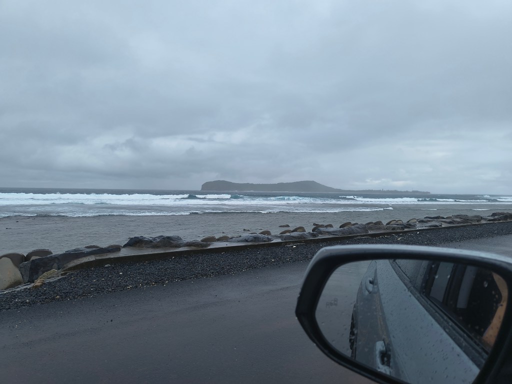
The small island of ‘Aunu’u was visible off the shore. I also saw (but did not photograph) a couple of the fruit bats that are American Samoa’s only indigenous mammal. They are HUGE, something like the size of hawks!
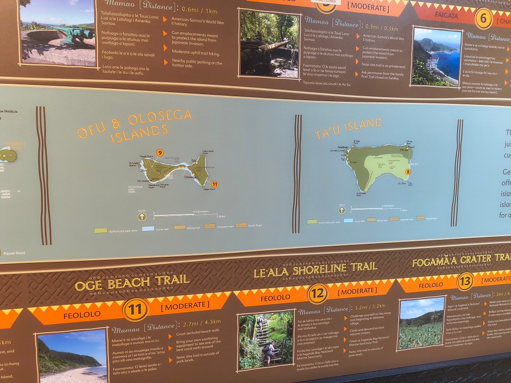
I also turned up a side road from Pago Pago that went into another part of the national park land. There was a trailhead there…
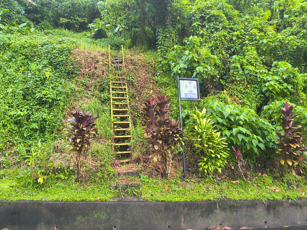
The visitor center labeled this one “challenging.” I guess it goes to the top of the mountain. No, thank you very much, I’m good here.
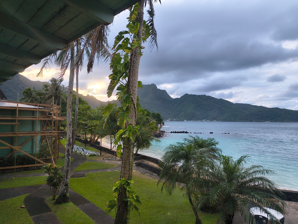
After that I got some dinner, and was a bit surprised by the 6:30 pm sunset until I remember that I’m in the southern hemisphere and it’s “winter” here. So I went back to my hotel and turned in my rental car. Today, Friday, I’ve just taken it easy around the hotel property, including a swim on the private beach and sitting out on my balcony listening to the waves. The sun came out for a while (see the first picture in this post), but now a mist is descending from the mountains as I’m preparing to pack up and head back to Hawaii.
It’s been a long trip for a short stay, but I’m glad I got to come. 42 national parks complete, 11 still to go!

Leave a comment